UN/LOCODE hub · France
FRJES

Jambles

46.7667°, 4.7000°
479
Population
1
Transport functions

Transport Functions

Multimodal
UN/LOCODE

Hub Profile

Place type
Populated place
GeoNames
Region
Bourgogne
GeoNames
Population
479
GeoNames
Time zone
Europe/Paris
GeoNames
Elevation
276 m
GeoNames

Location

Location of FRJES
Natural Earth 10m (public domain) · Bourgogne · FRJES · 46.77, 4.70GoogleOSMYandex

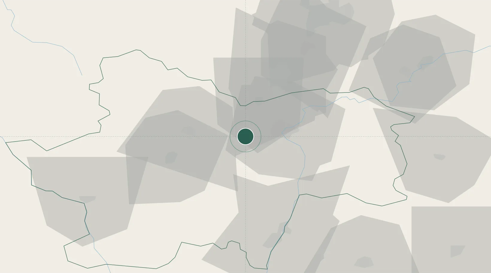
Nearby Logistics Neighbours

Cities
  1. 1Rosey2 km
  2. 2Moroges2 km
  3. 3Bissey-sous-Cruchaud4 km
  4. 4Givry4 km
  5. 5Germolles5 km
Nearest neighbours — logibook spatial index (haversine) over the source coordinates
Ports
  1. 1Fos373 km
  2. 2Port-de-Bouc375 km
  3. 3Port Saint Louis Du Rhone376 km
  4. 4Sete383 km
  5. 5Marseille387 km
Nearest neighbours — logibook spatial index (haversine) over the source coordinates
Airports
  1. 1Mâcon-Charnay Airfield53 km
  2. 2Dole Tavaux Airport63 km
  3. 3Dijon Longvic airport63 km
  4. 4Saint-Yan Airport66 km
  5. 5Roanne-Renaison Airport96 km
Nearest neighbours — logibook spatial index (haversine) over the source coordinates
Trade Zones
  1. 1ZFU Chenôve62 km
  2. 2ZFU Rillieux-la-Pape105 km
  3. 3ZFU Lyon 9e111 km
  4. 4ZFU Vaulx-en-Velin111 km
  5. 5ZFU Besancon112 km
Nearest neighbours — logibook spatial index (haversine) over the source coordinates
DatabookThe Record of Consolidated Knowledge
France beyond logistics?
Browse databook

All Sources

LocationsUN/LOCODE
UN/LOCODE — free
LocationsGeoNames
CC BY 4.0
Portsthe NGA World Port Index
Public domain (US gov)
AirportsOurAirports
Public domain
Trade Zonesthe World Bank SEZ database
CC BY 4.0
Trade ZonesOpen Zone Map
CC BY
← France locations