Transport Functions
Multimodal
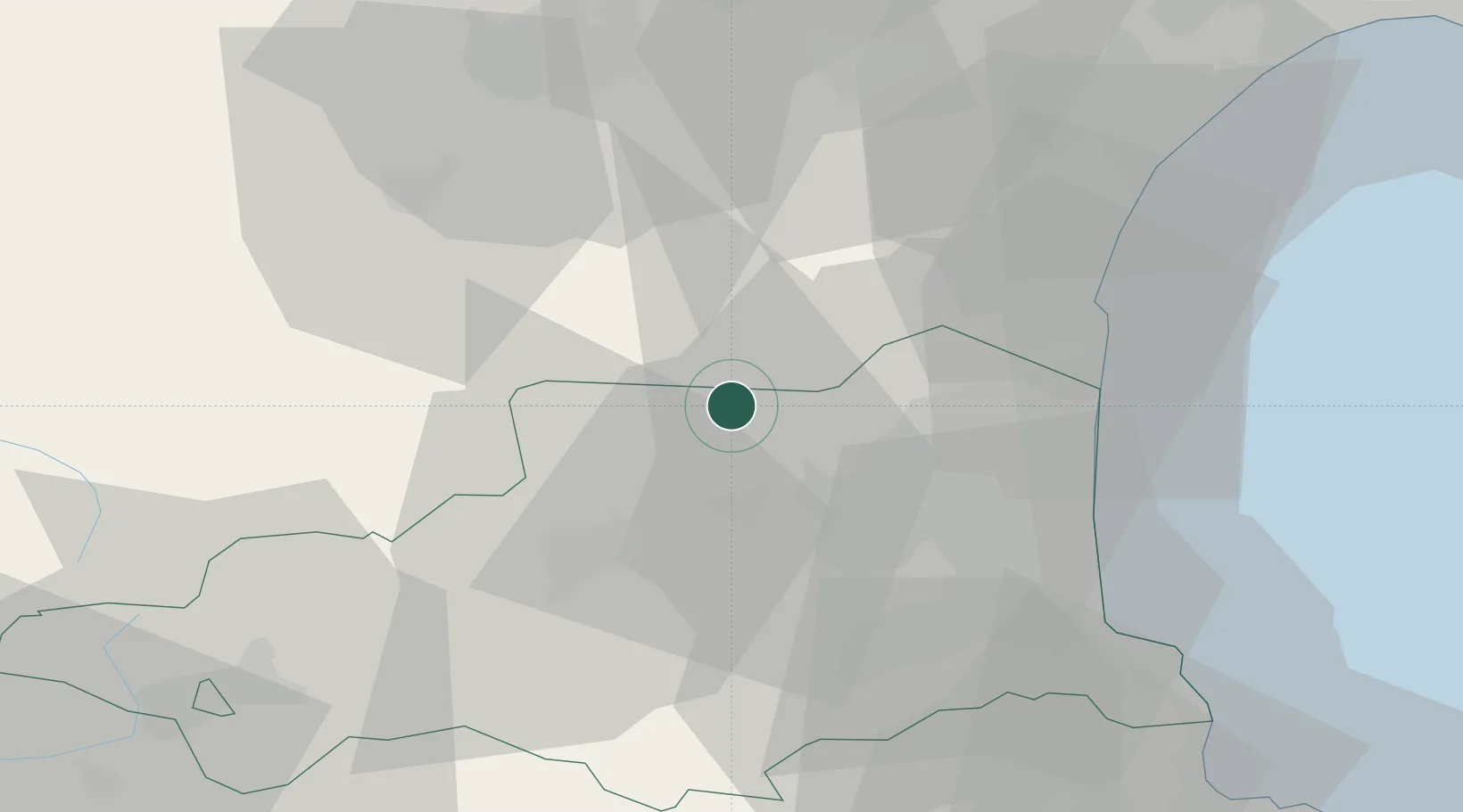
Hub Profile
Place type
Populated place
Region
Occitanie
Population
941
Time zone
Europe/Paris
Elevation
174 m
Location
Nearby Logistics Neighbours
Cities
- 1Cucugnan4 km
- 2Rasiguères6 km
- 3Lesquerde6 km
- 4Lansac6 km
- 5Saint-Arnac7 km
Ports
- 1Port-La-Nouvelle44 km
- 2Port-Vendres54 km
- 3Rosas78 km
- 4Sete110 km
- 5Palamos117 km
Airports
Trade Zones
- 1ZFU Perpignan27 km
- 2ZFU Béziers76 km
- 3ZFU Toulouse128 km
- 4ZFU Montpellier134 km
- 5Zona Franca de Barcelona169 km
DatabookThe Record of Consolidated Knowledge
France beyond logistics?