UN/LOCODE hub · Switzerland
CHVME
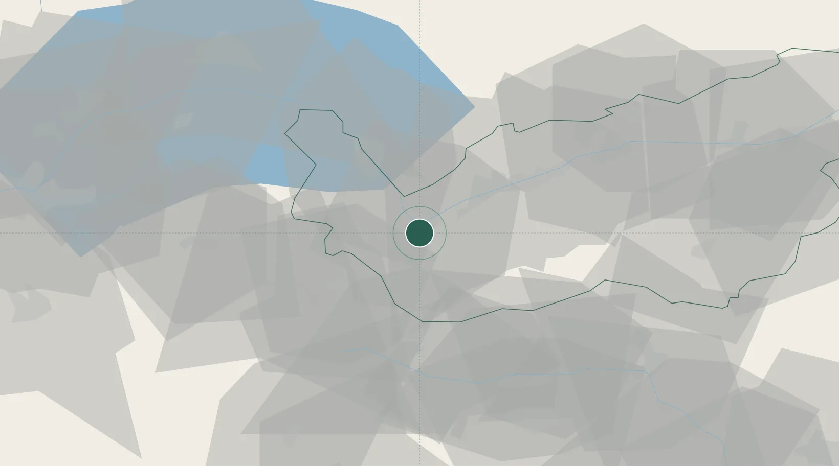
Martigny-Ville
46.1000°, 7.0833°
18,301
Population
1
Transport functions
Transport Functions
Multimodal
Hub Profile
Place type
Provincial seat
Region
Valais
Population
18,301
Time zone
Europe/Zurich
Elevation
475 m
Location
Nearby Logistics Neighbours
Cities
- 1Fully4 km
- 2Saxon10 km
- 3Riddes14 km
- 4Sankt Maurice15 km
- 5Bex18 km
Ports
- 1Savona227 km
- 2Rada Di Vado231 km
- 3Genova238 km
- 4Imperia258 km
- 5San Remo260 km
Airports
- 1Sion Airport23 km
- 2Aosta Corrado Gex Airport46 km
- 3Annemasse Airfield64 km
- 4Geneva Cointrin International Airport77 km
- 5Annecy Meythet airport78 km
Trade Zones
DatabookThe Record of Consolidated Knowledge
Switzerland beyond logistics?