UN/LOCODE hub · France
FRLS4

Laval-Saint-Roman

44.3000°, 4.5167°
217
Population
1
Transport functions

Transport Functions

Multimodal
UN/LOCODE

Hub Profile

Place type
Populated place
GeoNames
Region
Occitanie
GeoNames
Population
217
GeoNames
Time zone
Europe/Paris
GeoNames
Elevation
137 m
GeoNames

Location

Location of FRLS4
Natural Earth 10m (public domain) · Occitanie · FRLS4 · 44.30, 4.52GoogleOSMYandex

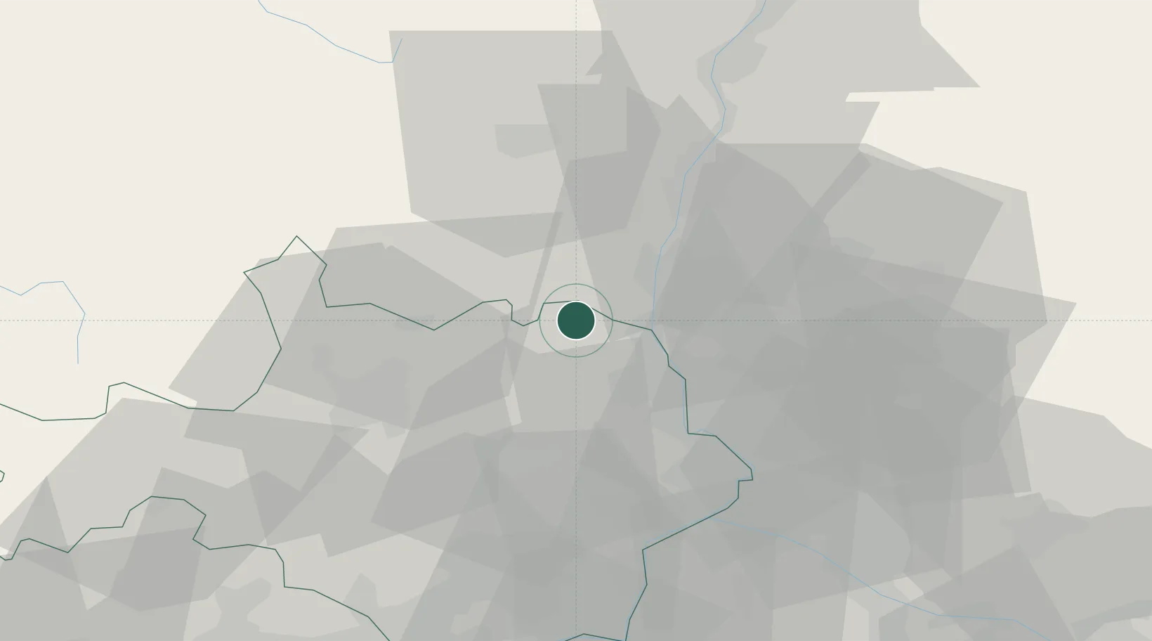
Nearby Logistics Neighbours

Cities
  1. 1Saint-Christol-de-Rodières4 km
  2. 2Saint-Martin-d'Ardèche4 km
  3. 3Saint-Paulet-de-Caisson8 km
  4. 4Cornillon10 km
  5. 5Saint-Gervais14 km
Nearest neighbours — logibook spatial index (haversine) over the source coordinates
Ports
  1. 1Fos103 km
  2. 2Port Saint Louis Du Rhone105 km
  3. 3Port-de-Bouc107 km
  4. 4Sete120 km
  5. 5Marseille129 km
Nearest neighbours — logibook spatial index (haversine) over the source coordinates
Airports
  1. 1Aubenas-South Ardèche Airport30 km
  2. 2Orange-Caritat (BA 115) Air Base33 km
  3. 3Aérodrome d'Alès Cévennes39 km
  4. 4Avignon Caumont airport53 km
  5. 5Nîmes-Arles-Camargue Airport61 km
Nearest neighbours — logibook spatial index (haversine) over the source coordinates
Trade Zones
  1. 1ZFU Avignon45 km
  2. 2ZFU Nîmes55 km
  3. 3ZFU Valence74 km
  4. 4ZFU Montpellier94 km
  5. 5ZFU Saint-Etienne126 km
Nearest neighbours — logibook spatial index (haversine) over the source coordinates
DatabookThe Record of Consolidated Knowledge
France beyond logistics?
Browse databook

All Sources

LocationsUN/LOCODE
UN/LOCODE — free
LocationsGeoNames
CC BY 4.0
Portsthe NGA World Port Index
Public domain (US gov)
AirportsOurAirports
Public domain
Trade Zonesthe World Bank SEZ database
CC BY 4.0
Trade ZonesOpen Zone Map
CC BY
← France locations