UN/LOCODE hub · France
FRSPO

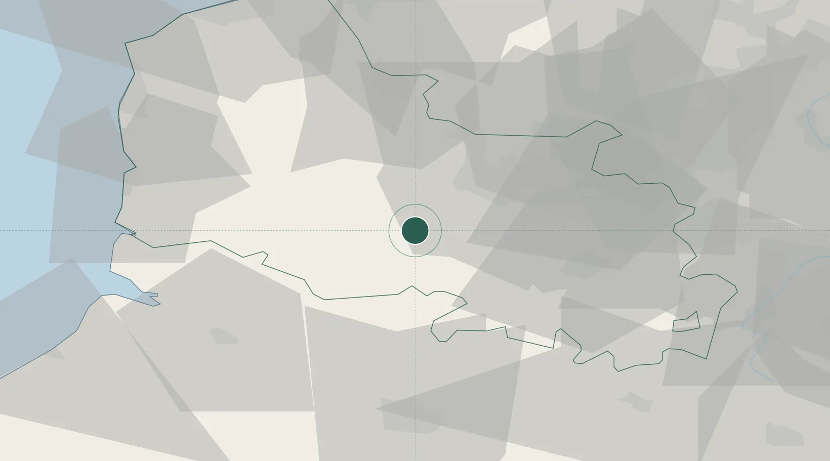
Saint-Pol-sur-Ternoise

50.3833°, 2.3333°
5,603
Population
2
Transport functions

Transport Functions

Rail
Road
UN/LOCODE

Hub Profile

Place type
Populated place
GeoNames
Region
Hauts-de-France
GeoNames
Population
5,603
GeoNames
Time zone
Europe/Paris
GeoNames
Elevation
91 m
GeoNames

Location

Location of FRSPO
Natural Earth 10m (public domain) · Hauts-de-France · FRSPO · 50.38, 2.33GoogleOSMYandex

Nearby Logistics Neighbours

Cities
  1. 1Herlin-le-Sec4 km
  2. 2Diéval10 km
  3. 3Frevent13 km
  4. 4Grigny19 km
  5. 5Marconne20 km
Nearest neighbours — logibook spatial index (haversine) over the source coordinates
Ports
  1. 1Saint-Valery-Sur-Somme56 km
  2. 2Boulogne-Sur-Mer65 km
  3. 3Gravelines70 km
  4. 4Calais73 km
  5. 5Dunkerque Port Est76 km
Nearest neighbours — logibook spatial index (haversine) over the source coordinates
Airports
  1. 1Merville-Calonne Airport34 km
  2. 2Abbeville-Buigny Baie de Somme Airfield45 km
  3. 3Le Touquet-Côte d'Opale Airport53 km
  4. 4Amiens Glisy Airfield57 km
  5. 5Lille Airport58 km
Nearest neighbours — logibook spatial index (haversine) over the source coordinates
DatabookThe Record of Consolidated Knowledge
France beyond logistics?
Browse databook

All Sources

LocationsUN/LOCODE
UN/LOCODE — free
LocationsGeoNames
CC BY 4.0
Portsthe NGA World Port Index
Public domain (US gov)
AirportsOurAirports
Public domain
Trade Zonesthe World Bank SEZ database
CC BY 4.0
Trade ZonesOpen Zone Map
CC BY
← France locations