Transport Functions
Multimodal
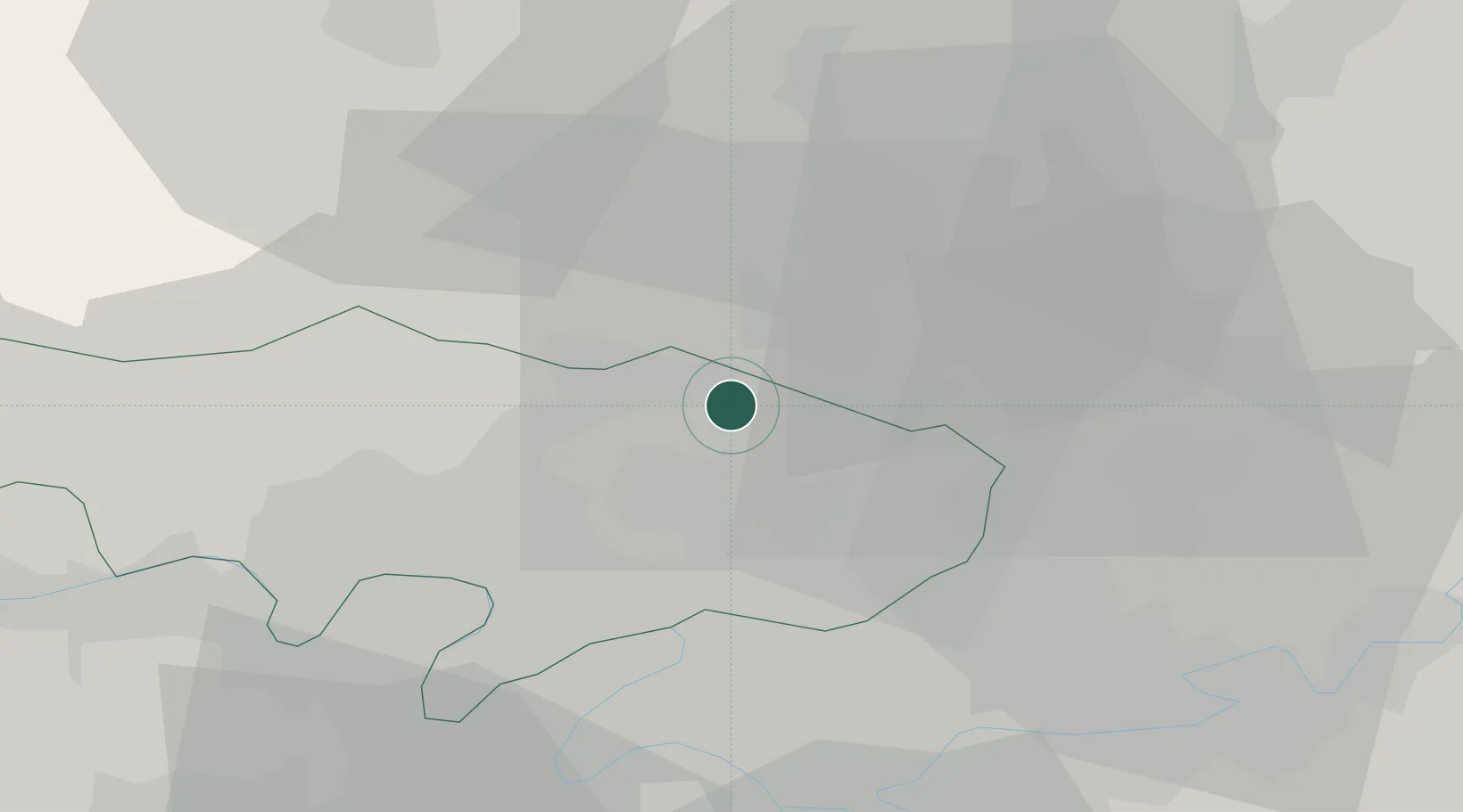
Hub Profile
Place type
Populated place
Region
Île-de-France
Population
4,961
Time zone
Europe/Paris
Elevation
49 m
Location
Nearby Logistics Neighbours
Cities
- 1Beaumont-sur-Oise5 km
- 2Saint-Leu-d'Esserent10 km
- 3Domont11 km
- 4Ronquerolles12 km
- 5Nesles-la-Vallée13 km
Ports
- 1Port Of Rouen101 km
- 2Le Treport126 km
- 3Dieppe128 km
- 4Saint-Valery-Sur-Somme129 km
- 5Honfleur159 km
Airports
Trade Zones
- 1ZFU Villiers-le-Bel14 km
- 2ZFU Creil et Montataire15 km
- 3ZFU Garges-lès-Gonesse et Sarcelles18 km
- 4ZFU Stains20 km
- 5ZFU Epinay-sur-Seine21 km
DatabookThe Record of Consolidated Knowledge
France beyond logistics?