UN/LOCODE hub · France
FRBMT
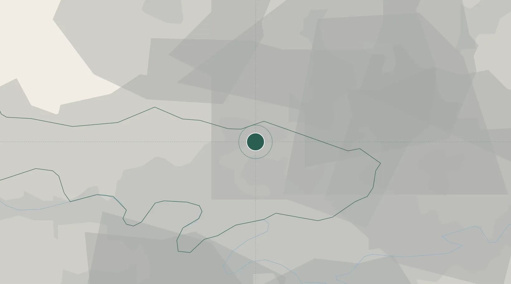
Beaumont-sur-Oise
49.1333°, 2.3000°
9,011
Population
3
Transport functions
Transport Functions
Port
Rail
Road
Hub Profile
Place type
Populated place
Region
Île-de-France
Population
9,011
Time zone
Europe/Paris
Elevation
49 m
Location
Nearby Logistics Neighbours
Cities
- 1Viarmes5 km
- 2Ronquerolles7 km
- 3Nesles-la-Vallée9 km
- 4Butry-sur-Oise9 km
- 5Méry-sur-Oise10 km
Ports
- 1Port Of Rouen96 km
- 2Le Treport124 km
- 3Dieppe125 km
- 4Saint-Valery-Sur-Somme127 km
- 5Honfleur154 km
Airports
Trade Zones
- 1ZFU Villiers-le-Bel15 km
- 2ZFU Creil et Montataire17 km
- 3ZFU Garges-lès-Gonesse et Sarcelles19 km
- 4ZFU Epinay-sur-Seine20 km
- 5ZFU Stains21 km
DatabookThe Record of Consolidated Knowledge
France beyond logistics?