Transport Functions
Multimodal
Hub Profile
Place type
Populated place
Region
Rhône-Alpes
Population
426
Time zone
Europe/Paris
Elevation
491 m
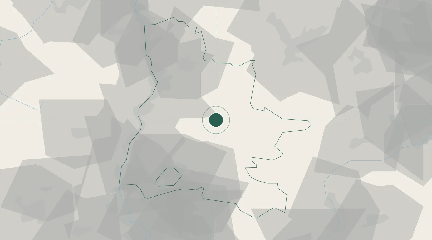
Location
Nearby Logistics Neighbours
Cities
- 1Saillans6 km
- 2Die10 km
- 3Saint-Roman15 km
- 4Bourdeaux18 km
- 5Autichamp24 km
Ports
- 1Fos148 km
- 2Port-de-Bouc148 km
- 3Port Saint Louis Du Rhone152 km
- 4Marseille156 km
- 5Toulon188 km
Airports
Trade Zones
- 1ZFU Valence39 km
- 2ZFU Grenoble62 km
- 3ZFU Avignon92 km
- 4ZFU Saint-Etienne109 km
- 5ZFU Vénissieux113 km
DatabookThe Record of Consolidated Knowledge
France beyond logistics?