Transport Functions
Multimodal
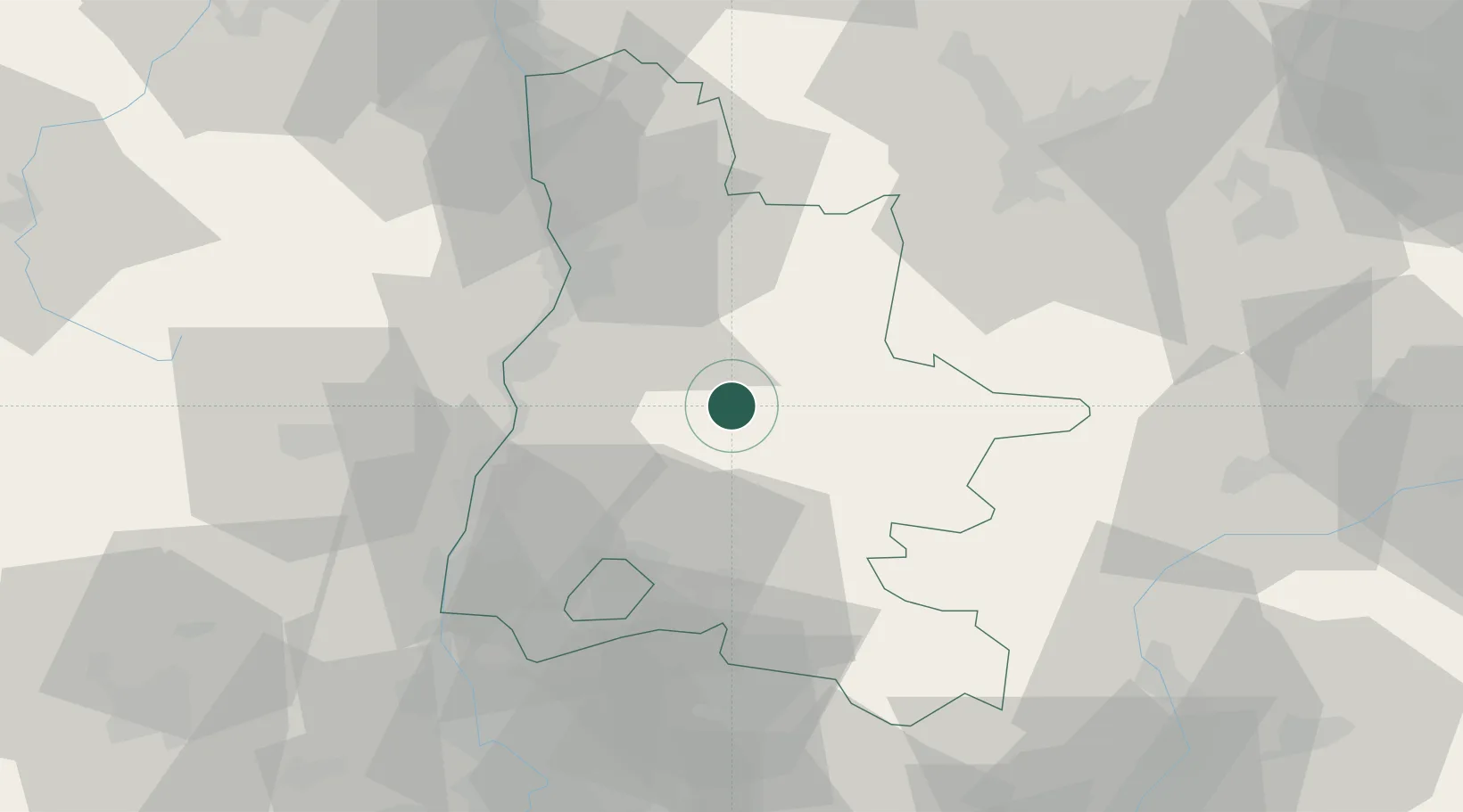
Hub Profile
Place type
Populated place
Region
Rhône-Alpes
Population
969
Time zone
Europe/Paris
Elevation
260 m
Location
Nearby Logistics Neighbours
Cities
- 1Vercheny6 km
- 2Bourdeaux14 km
- 3Die16 km
- 4Autichamp19 km
- 5Saint-Roman20 km
Ports
- 1Fos145 km
- 2Port-de-Bouc145 km
- 3Port Saint Louis Du Rhone149 km
- 4Marseille155 km
- 5Sete187 km
Airports
Trade Zones
- 1ZFU Valence36 km
- 2ZFU Grenoble67 km
- 3ZFU Avignon89 km
- 4ZFU Saint-Etienne107 km
- 5ZFU Vénissieux114 km
DatabookThe Record of Consolidated Knowledge
France beyond logistics?