Transport Functions
Rail
Road
Hub Profile
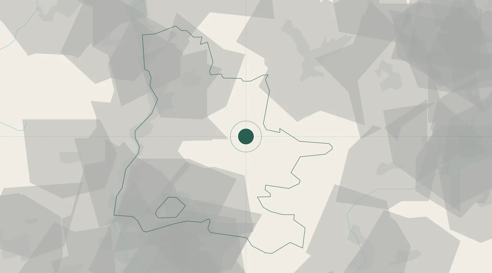
Place type
District seat
Region
Rhône-Alpes
Population
4,924
Time zone
Europe/Paris
Elevation
420 m
Location
Nearby Logistics Neighbours
Cities
- 1Saint-Roman9 km
- 2Vercheny10 km
- 3Saillans16 km
- 4Bourdeaux26 km
- 5Charpey29 km
Ports
- 1Fos153 km
- 2Port-de-Bouc153 km
- 3Port Saint Louis Du Rhone158 km
- 4Marseille159 km
- 5Saint-Raphael186 km
Airports
Trade Zones
- 1ZFU Valence45 km
- 2ZFU Grenoble54 km
- 3ZFU Avignon100 km
- 4ZFU Saint-Etienne113 km
- 5ZFU Vénissieux113 km
DatabookThe Record of Consolidated Knowledge
France beyond logistics?