Transport Functions
Multimodal
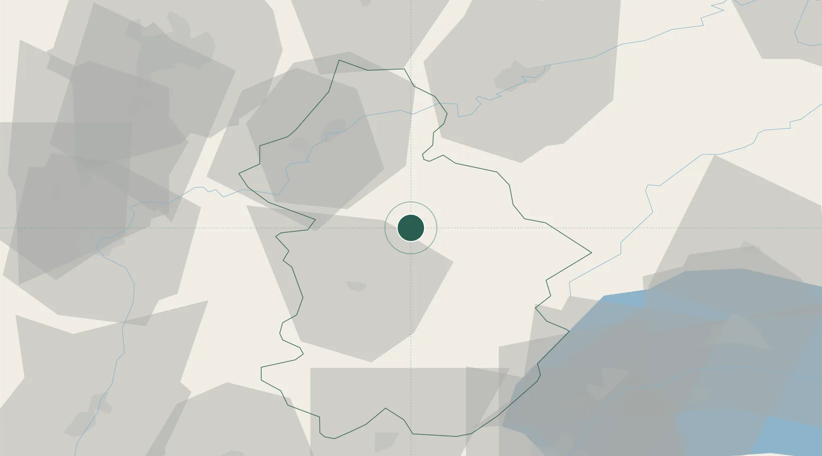
Hub Profile
Place type
Populated place
Region
Bourgogne
Population
247
Time zone
Europe/Paris
Elevation
403 m
Location
Nearby Logistics Neighbours
Cities
- 1Pupillin7 km
- 2Villette-lès-Arbois10 km
- 3Mesnay10 km
- 4Molamboz11 km
- 5Mathenay11 km
Ports
- 1Savona354 km
- 2Rada Di Vado356 km
- 3Genova368 km
- 4Nice369 km
- 5Monaco369 km
Airports
- 1Dole Tavaux Airport32 km
- 2Dijon Longvic airport68 km
- 3Geneva Cointrin International Airport73 km
- 4Annemasse Airfield83 km
- 5Les Eplatures Airport86 km
Trade Zones
DatabookThe Record of Consolidated Knowledge
France beyond logistics?