Transport Functions
Multimodal
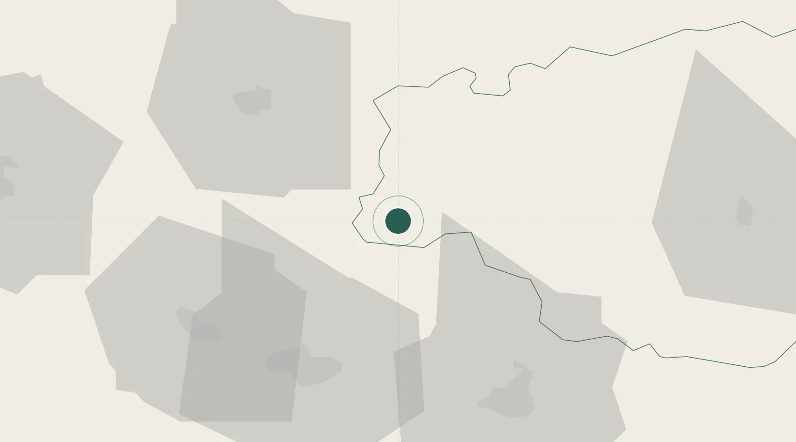
Hub Profile
Place type
Populated place
Region
Occitanie
Population
140
Time zone
Europe/Paris
Elevation
160 m
Location
Nearby Logistics Neighbours
Cities
- 1Viella6 km
- 2Saint-Lanne9 km
- 3Garlin10 km
- 4Sarragachies11 km
- 5Aire-sur-l'Adour11 km
Ports
- 1Bayonne106 km
- 2Bordeaux141 km
- 3Puerto De Pasajes146 km
- 4Ambes157 km
- 5Blaye172 km
Airports
Trade Zones
- 1ZFU Toulouse130 km
- 2ZFU Hauts de Garonne137 km
- 3Port de Bordeaux145 km
- 4Depósito Franco de Pasajes (Guipúzcoa)146 km
- 5Depósito Franco de Zaragoza227 km
DatabookThe Record of Consolidated Knowledge
France beyond logistics?