UN/LOCODE hub · France
FRVC3

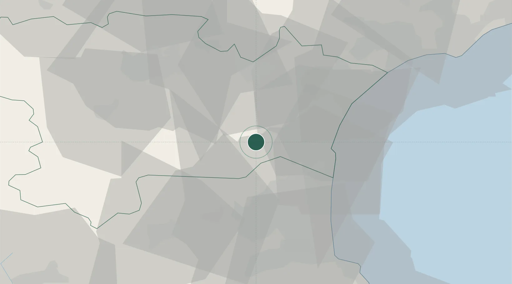
Villeneuve-les-Corbières

42.9667°, 2.7667°
254
Population
1
Transport functions

Transport Functions

Multimodal
UN/LOCODE

Hub Profile

Place type
Populated place
GeoNames
Region
Occitanie
GeoNames
Population
254
GeoNames
Time zone
Europe/Paris
GeoNames
Elevation
130 m
GeoNames

Location

Location of FRVC3
Natural Earth 10m (public domain) · Occitanie · FRVC3 · 42.97, 2.77GoogleOSMYandex

Nearby Logistics Neighbours

Cities
  1. 1Cascastel-des-Corbières2 km
  2. 2Durban-Corbières6 km
  3. 3Embres-et-Castelmaure6 km
  4. 4Fontjoncouse8 km
  5. 5Fraissé-des-Corbières8 km
Nearest neighbours — logibook spatial index (haversine) over the source coordinates
Ports
  1. 1Port-La-Nouvelle25 km
  2. 2Port-Vendres58 km
  3. 3Rosas85 km
  4. 4Sete90 km
  5. 5Palamos129 km
Nearest neighbours — logibook spatial index (haversine) over the source coordinates
Airports
  1. 1Perpignan-Rivesaltes (Llabanère) Airport27 km
  2. 2Carcassonne Salvaza Airport47 km
  3. 3Béziers Vias airport62 km
  4. 4Castres Mazamet Airport76 km
  5. 5Albi Le Sequestre airport118 km
Nearest neighbours — logibook spatial index (haversine) over the source coordinates
Trade Zones
  1. 1ZFU Perpignan31 km
  2. 2ZFU Béziers55 km
  3. 3ZFU Montpellier113 km
  4. 4ZFU Toulouse129 km
  5. 5ZFU Nîmes159 km
Nearest neighbours — logibook spatial index (haversine) over the source coordinates
DatabookThe Record of Consolidated Knowledge
France beyond logistics?
Browse databook

All Sources

LocationsUN/LOCODE
UN/LOCODE — free
LocationsGeoNames
CC BY 4.0
Portsthe NGA World Port Index
Public domain (US gov)
AirportsOurAirports
Public domain
Trade Zonesthe World Bank SEZ database
CC BY 4.0
Trade ZonesOpen Zone Map
CC BY
← France locations