Transport Functions
Rail
Road
Hub Profile
Place type
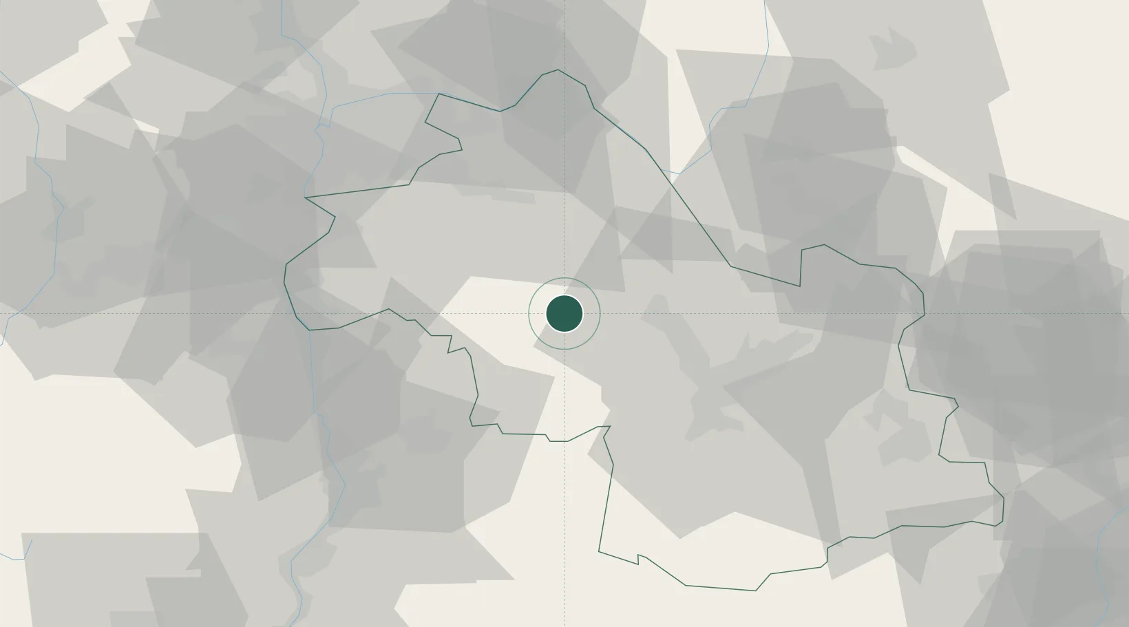
Populated place
Region
Rhône-Alpes
Population
1,528
Time zone
Europe/Paris
Elevation
403 m
Location
Nearby Logistics Neighbours
Cities
- 1La Frette6 km
- 2Le Grand-Lemps6 km
- 3Réaumont11 km
- 4Vinay13 km
- 5Viriville15 km
Ports
- 1Fos217 km
- 2Port-de-Bouc217 km
- 3Port Saint Louis Du Rhone222 km
- 4Marseille224 km
- 5Nice236 km
Airports
Trade Zones
- 1ZFU Grenoble29 km
- 2ZFU Vénissieux58 km
- 3ZFU Vaulx-en-Velin61 km
- 4ZFU Valence62 km
- 5ZFU Lyon 9e67 km
DatabookThe Record of Consolidated Knowledge
France beyond logistics?