Transport Functions
Road
Multimodal
Hub Profile
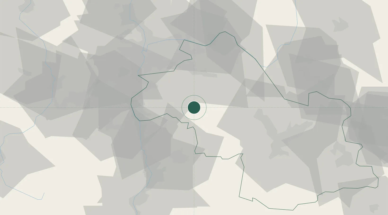
Place type
Populated place
Region
Rhône-Alpes
Population
800
Time zone
Europe/Paris
Elevation
377 m
Location
Nearby Logistics Neighbours
Cities
- 1Viriville8 km
- 2La Frette14 km
- 3Bellegarde-Poussieu17 km
- 4Eyzin-Pinet17 km
- 5Sillans18 km
Ports
- 1Fos220 km
- 2Port-de-Bouc221 km
- 3Port Saint Louis Du Rhone224 km
- 4Marseille230 km
- 5Sete249 km
Airports
Trade Zones
- 1ZFU Vénissieux43 km
- 2ZFU Grenoble46 km
- 3ZFU Vaulx-en-Velin48 km
- 4ZFU Lyon 9e52 km
- 5ZFU Rillieux-la-Pape55 km
DatabookThe Record of Consolidated Knowledge
France beyond logistics?