Transport Functions
Multimodal
Hub Profile
Place type
Populated place
Region
Rhône-Alpes
Population
900
Time zone
Europe/Paris
Elevation
422 m
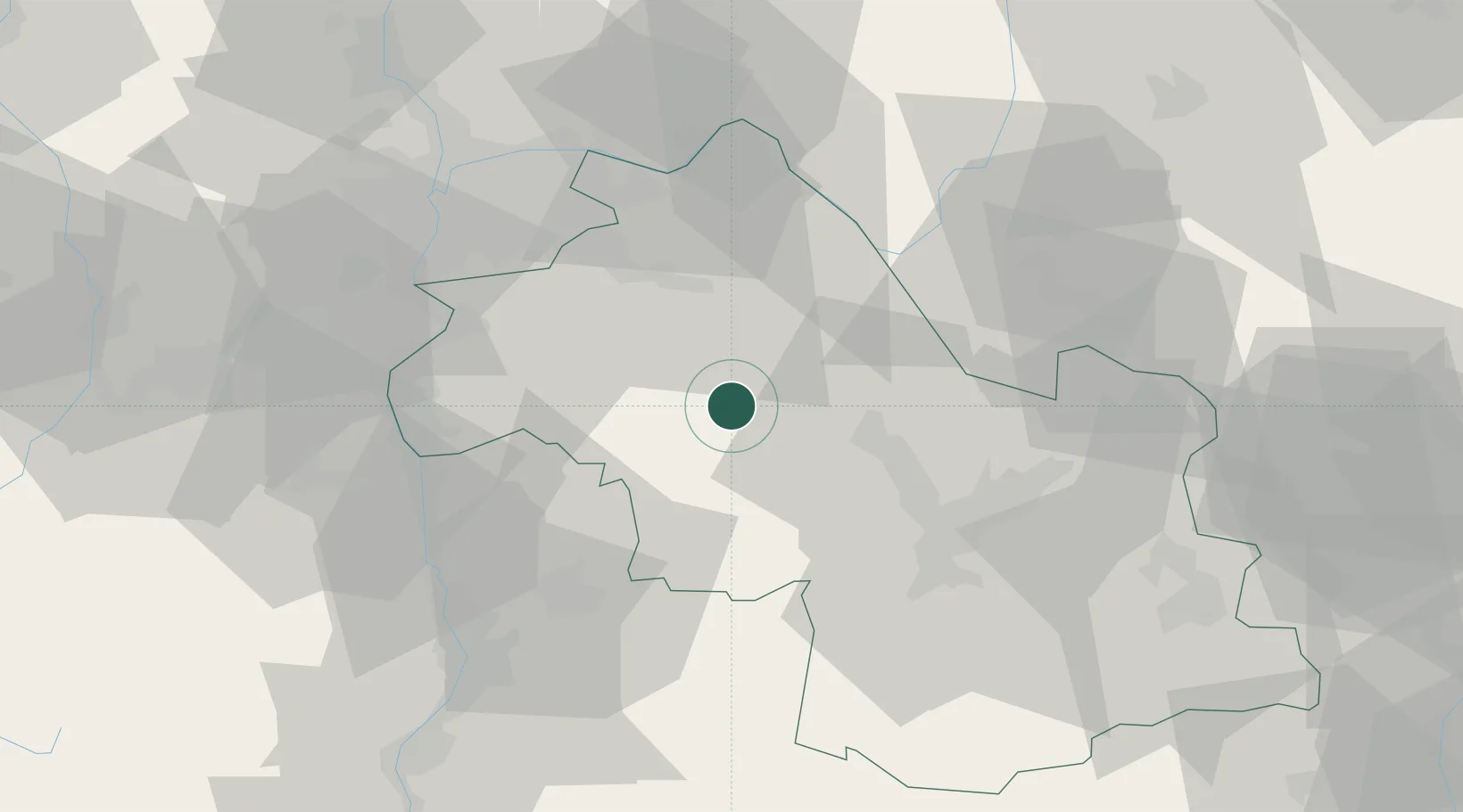
Location
Nearby Logistics Neighbours
Cities
- 1Le Grand-Lemps5 km
- 2Sillans6 km
- 3Biol11 km
- 4Réaumont13 km
- 5Le Pin14 km
Ports
- 1Fos222 km
- 2Port-de-Bouc223 km
- 3Port Saint Louis Du Rhone226 km
- 4Marseille230 km
- 5Nice242 km
Airports
Trade Zones
- 1ZFU Grenoble34 km
- 2ZFU Vénissieux52 km
- 3ZFU Vaulx-en-Velin55 km
- 4ZFU Lyon 9e61 km
- 5ZFU Rillieux-la-Pape62 km
DatabookThe Record of Consolidated Knowledge
France beyond logistics?