Transport Functions
Multimodal
Hub Profile
Place type
Populated place
Region
Provence-Alpes-Côte d'Azur
Population
992
Time zone
Europe/Paris
Elevation
358 m
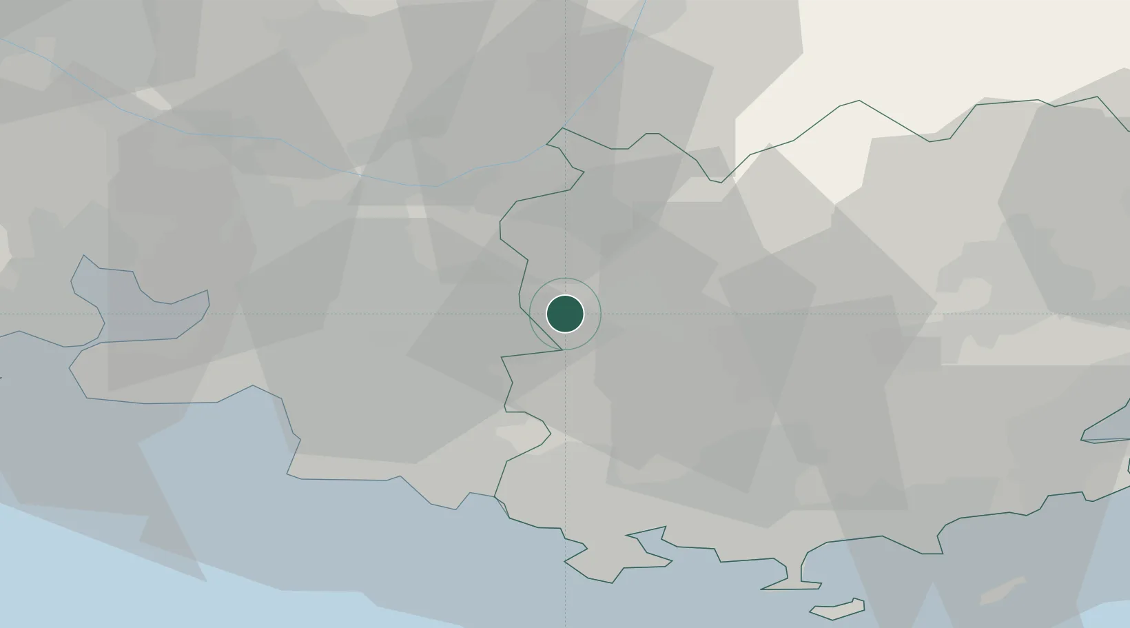
Location
Nearby Logistics Neighbours
Cities
- 1Pourrières6 km
- 2Trets7 km
- 3Saint-Maximin-la-Sainte-Baume7 km
- 4Puyloubier10 km
- 5Auriol15 km
Ports
- 1Marseille38 km
- 2Toulon42 km
- 3Port-de-Bouc65 km
- 4Saint-Tropez72 km
- 5Fos73 km
Airports
Trade Zones
- 1ZFU Marseille 15e et 16e37 km
- 2ZFU Toulon40 km
- 3ZFU La Seyne-sur-Mer43 km
- 4ZFU Saint-Barthélémy, Le Canet, Delorme-Paternelle49 km
- 5ZFU Avignon95 km
DatabookThe Record of Consolidated Knowledge
France beyond logistics?