UN/LOCODE hub · France
FRXIE
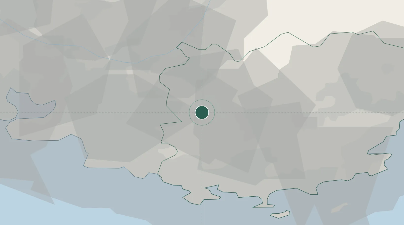
Saint-Maximin-la-Sainte-Baume
43.4500°, 5.8667°
15,225
Population
3
Transport functions
Transport Functions
Rail
Road
Multimodal
Hub Profile
Place type
Populated place
Region
Provence-Alpes-Côte d'Azur
Population
15,225
Time zone
Europe/Paris
Elevation
312 m
Location
Nearby Logistics Neighbours
Cities
- 1Pourcieux7 km
- 2Brue-Auriac11 km
- 3Pourrières12 km
- 4Trets14 km
- 5Châteauvert15 km
Ports
- 1Toulon39 km
- 2Marseille43 km
- 3Saint-Tropez65 km
- 4Port-de-Bouc72 km
- 5Saint-Raphael73 km
Airports
- 1Le Castellet Airport23 km
- 2Le Luc-Le Cannet Airfield43 km
- 3Toulon-Hyères Airport45 km
- 4Marseille Provence Airport53 km
- 5La Môle Airport57 km
Trade Zones
- 1ZFU Toulon37 km
- 2ZFU La Seyne-sur-Mer41 km
- 3ZFU Marseille 15e et 16e43 km
- 4ZFU Saint-Barthélémy, Le Canet, Delorme-Paternelle54 km
- 5ZFU Avignon102 km
DatabookThe Record of Consolidated Knowledge
France beyond logistics?