Transport Functions
Multimodal
Hub Profile
Place type
Populated place
Region
Provence-Alpes-Côte d'Azur
Population
1,390
Time zone
Europe/Paris
Elevation
205 m
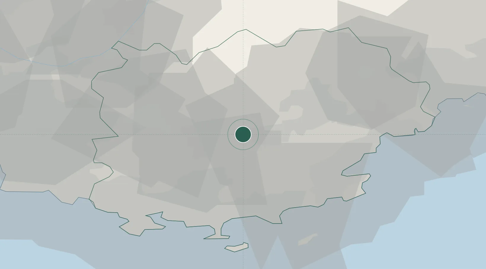
Location
Nearby Logistics Neighbours
Cities
- 1Le Thoronet7 km
- 2Carcès7 km
- 3Le Cannet-des-Maures10 km
- 4Gonfaron12 km
- 5Pignans13 km
Ports
- 1Saint-Tropez36 km
- 2Saint-Raphael43 km
- 3Toulon44 km
- 4Cannes65 km
- 5Marseille71 km
Airports
- 1Le Luc-Le Cannet Airfield13 km
- 2La Môle Airport31 km
- 3Toulon-Hyères Airport36 km
- 4Le Castellet Airport41 km
- 5Cannes Mandelieu Airport60 km
Trade Zones
- 1ZFU Toulon41 km
- 2ZFU La Seyne-sur-Mer49 km
- 3ZFU Marseille 15e et 16e71 km
- 4ZFU Saint-Barthélémy, Le Canet, Delorme-Paternelle82 km
- 5ZFU LAriane92 km
DatabookThe Record of Consolidated Knowledge
France beyond logistics?