UN/LOCODE hub · France
FRNEJ
Le Cannet-des-Maures
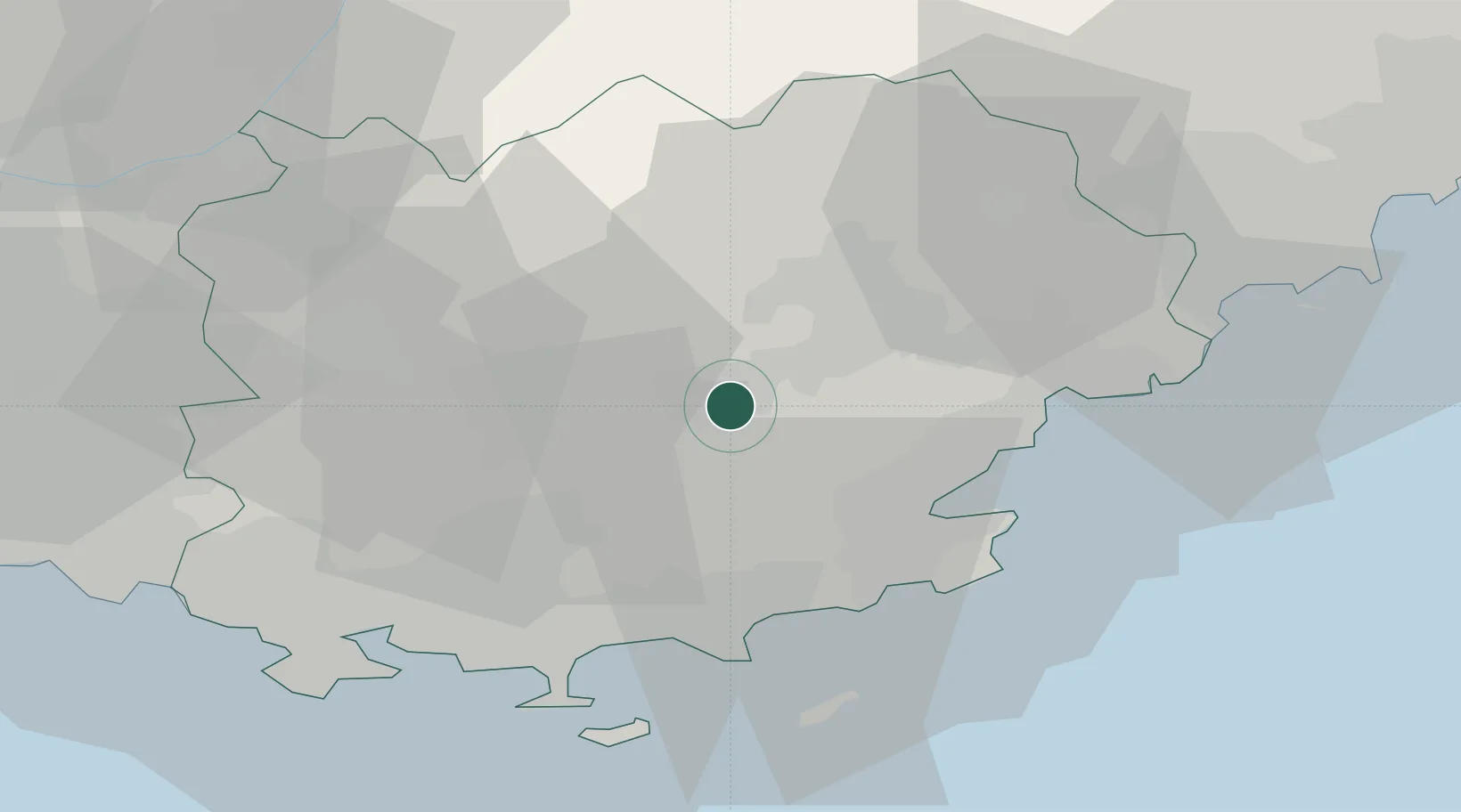
43.4000°, 6.3500°
3,980
Population
1
Transport functions
Transport Functions
Multimodal
Hub Profile
Place type
Populated place
Region
Provence-Alpes-Côte d'Azur
Population
3,980
Time zone
Europe/Paris
Elevation
135 m
Location
Nearby Logistics Neighbours
Cities
- 1Le Thoronet7 km
- 2Vidauban8 km
- 3Taradeau9 km
- 4Les Mayons9 km
- 5Cabasse10 km
Ports
- 1Saint-Tropez27 km
- 2Saint-Raphael34 km
- 3Toulon48 km
- 4Cannes56 km
- 5Antibes66 km
Airports
- 1Le Luc-Le Cannet Airfield3 km
- 2La Môle Airport24 km
- 3Toulon-Hyères Airport38 km
- 4Le Castellet Airport49 km
- 5Cannes Mandelieu Airport52 km
Trade Zones
- 1ZFU Toulon46 km
- 2ZFU La Seyne-sur-Mer54 km
- 3ZFU Marseille 15e et 16e80 km
- 4ZFU LAriane85 km
- 5ZFU Saint-Barthélémy, Le Canet, Delorme-Paternelle91 km
DatabookThe Record of Consolidated Knowledge
France beyond logistics?