Transport Functions
Road
Multimodal
Hub Profile
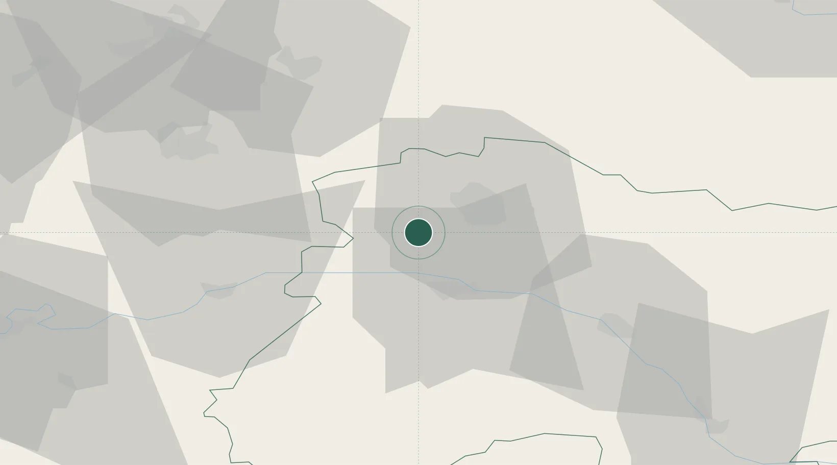
Place type
Populated place
Region
Grand Est
Population
198
Time zone
Europe/Paris
Elevation
178 m
Location
Nearby Logistics Neighbours
Cities
- 1Marfaux2 km
- 2Ville-Dommange3 km
- 3Jouy-lès-Reims3 km
- 4Écueil4 km
- 5Saint-Euphraise-Et-Clairizet4 km
Ports
- 1Bruxelles190 km
- 2Saint-Valery-Sur-Somme198 km
- 3Le Treport207 km
- 4Port Of Rouen208 km
- 5Ghent210 km
Airports
Trade Zones
- 1ZFU Reims10 km
- 2ZFU Presles, Chevreux48 km
- 3ZFU Meaux78 km
- 4ZFU Ronde Couture86 km
- 5ZFU Le Vermandois Vermand, Fayet, Artois, Champagne89 km
DatabookThe Record of Consolidated Knowledge
France beyond logistics?