Transport Functions
Port
Road
Hub Profile
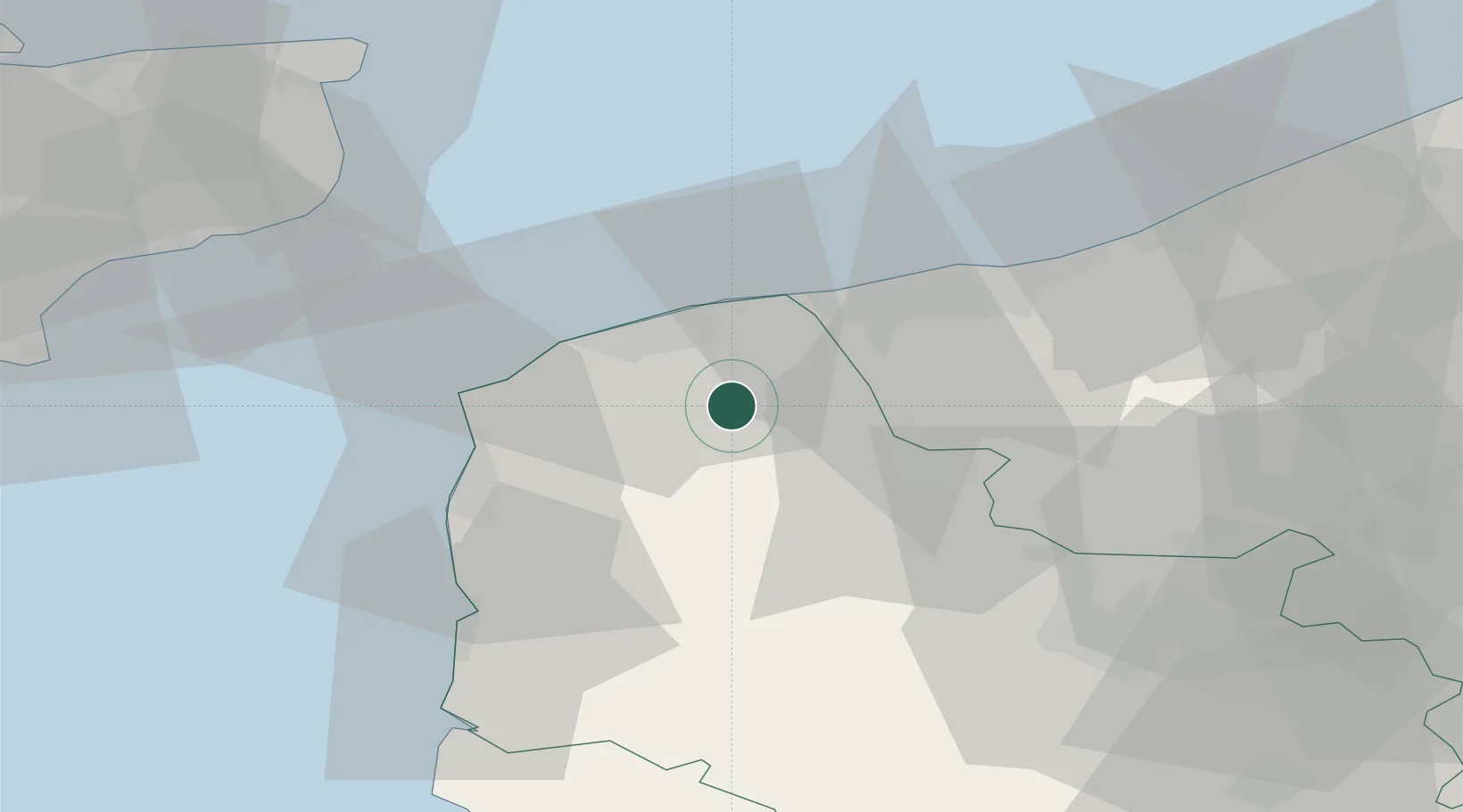
Place type
Populated place
Region
Hauts-de-France
Population
4,240
Time zone
Europe/Paris
Elevation
13 m
Location
Nearby Logistics Neighbours
Cities
- 1Fort-Batard6 km
- 2Audruicq6 km
- 3Tournehem-sur-la-Hem7 km
- 4Guînes8 km
- 5Quercamps12 km
Ports
- 1Calais16 km
- 2Gravelines19 km
- 3Boulogne-Sur-Mer30 km
- 4Dunkerque Port Est35 km
- 5Dover Harbor54 km
Airports
DatabookThe Record of Consolidated Knowledge
France beyond logistics?