Transport Functions
Multimodal
Hub Profile
Place type
Populated place
Region
Rhône-Alpes
Population
1,965
Time zone
Europe/Paris
Elevation
442 m
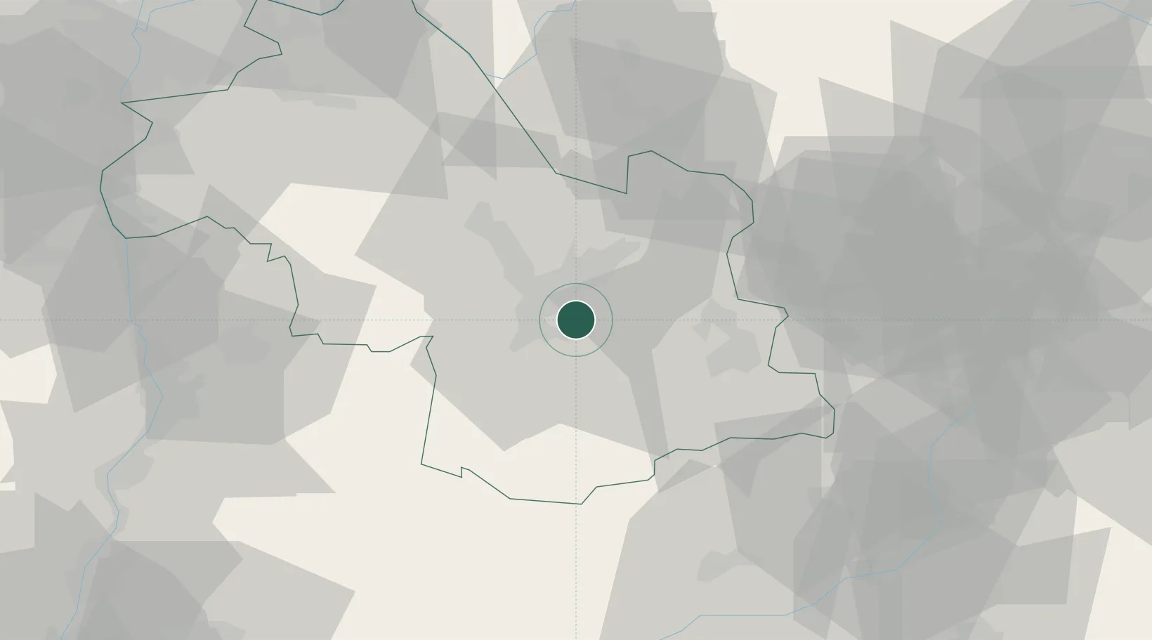
Location
Nearby Logistics Neighbours
Cities
- 1Herbeys2 km
- 2Vizille5 km
- 3Champagnier7 km
- 4Champ-sur-Drac8 km
- 5Grenoble9 km
Ports
- 1Nice197 km
- 2Villefranche198 km
- 3Cannes199 km
- 4Monaco200 km
- 5Antibes201 km
Airports
Trade Zones
- 1ZFU Grenoble12 km
- 2ZFU Valence78 km
- 3ZFU Vénissieux98 km
- 4ZFU Vaulx-en-Velin101 km
- 5Aosta Valley104 km
DatabookThe Record of Consolidated Knowledge
France beyond logistics?