Transport Functions
Road
Multimodal
Hub Profile
Place type
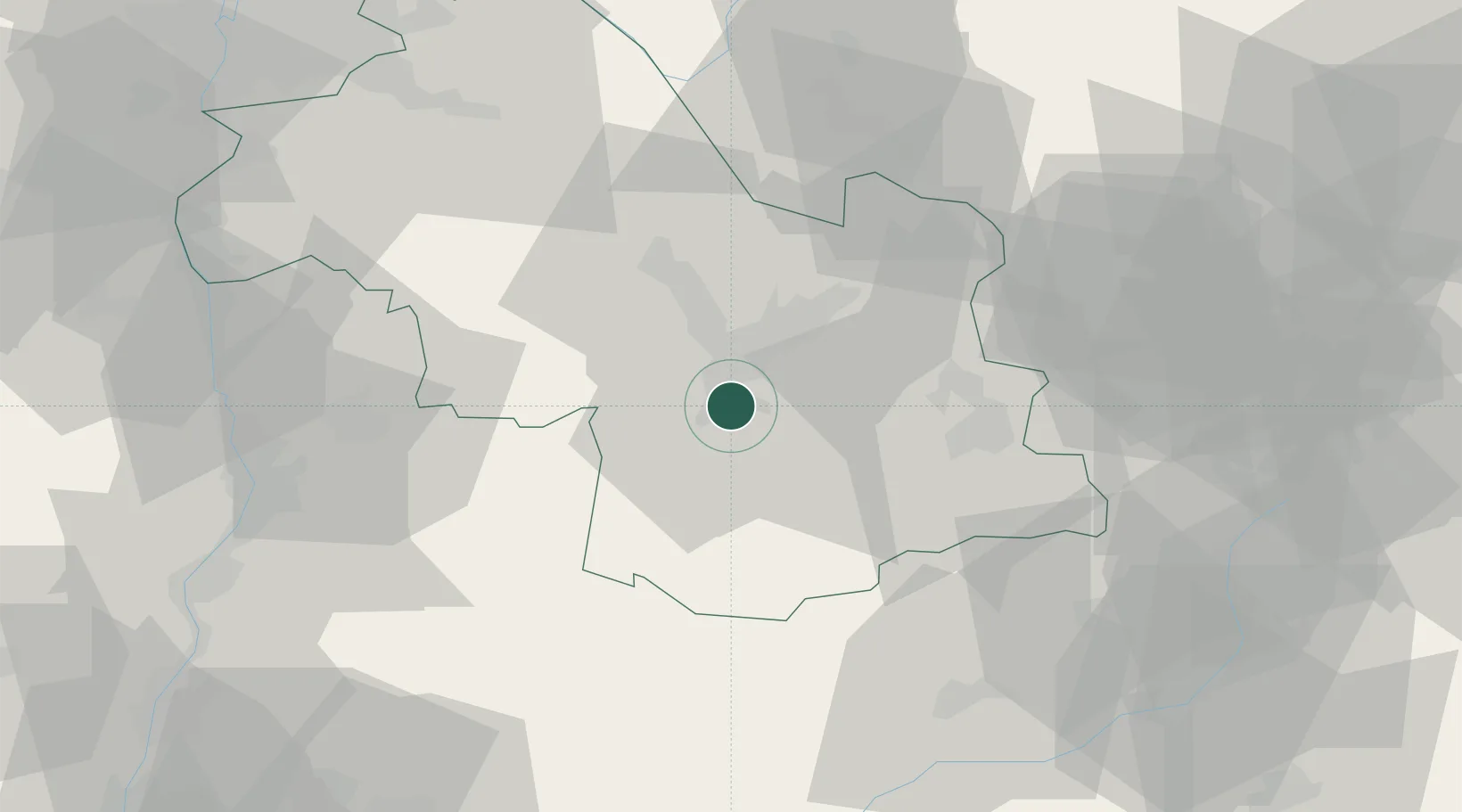
Populated place
Region
Rhône-Alpes
Population
3,511
Time zone
Europe/Paris
Elevation
269 m
Location
Nearby Logistics Neighbours
Cities
- 1Champagnier2 km
- 2Vizille4 km
- 3Brié-et-Angonnes8 km
- 4Herbeys9 km
- 5Le Gua11 km
Ports
- 1Port-de-Bouc196 km
- 2Fos197 km
- 3Nice198 km
- 4Marseille198 km
- 5Cannes199 km
Airports
Trade Zones
- 1ZFU Grenoble12 km
- 2ZFU Valence71 km
- 3ZFU Vénissieux96 km
- 4ZFU Vaulx-en-Velin99 km
- 5ZFU Lyon 9e105 km
DatabookThe Record of Consolidated Knowledge
France beyond logistics?