UN/LOCODE hub · France
FRUMX
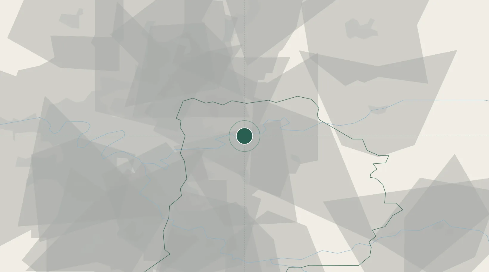
Mareuil-lès-Meaux
48.9333°, 2.8500°
1,762
Population
2
Transport functions
Transport Functions
Port
Road
Hub Profile
Place type
Populated place
Region
Île-de-France
Population
1,762
Time zone
Europe/Paris
Elevation
55 m
Location
Nearby Logistics Neighbours
Cities
- 1Meaux4 km
- 2Esbly4 km
- 3Précy-sur-Marne5 km
- 4Fublaines6 km
- 5Trilport6 km
Ports
- 1Port Of Rouen142 km
- 2Saint-Valery-Sur-Somme165 km
- 3Le Treport165 km
- 4Dieppe169 km
- 5Honfleur199 km
Airports
Trade Zones
- 1ZFU Meaux4 km
- 2ZFU Clichy-sous-Bois et Montfermeil22 km
- 3ZFU Sevran24 km
- 4ZFU Neuilly-sur-Marne25 km
- 5ZFU Bondy27 km
DatabookThe Record of Consolidated Knowledge
France beyond logistics?