UN/LOCODE hub · France
FRESB

Esbly

48.9000°, 2.8167°
5,609
Population
3
Transport functions

Transport Functions

Port
Rail
Road
UN/LOCODE

Hub Profile

Place type
Populated place
GeoNames
Region
Île-de-France
GeoNames
Population
5,609
GeoNames
Time zone
Europe/Paris
GeoNames
Elevation
56 m
GeoNames

Location

Location of FRESB
Natural Earth 10m (public domain) · Île-de-France · FRESB · 48.90, 2.82GoogleOSMYandex

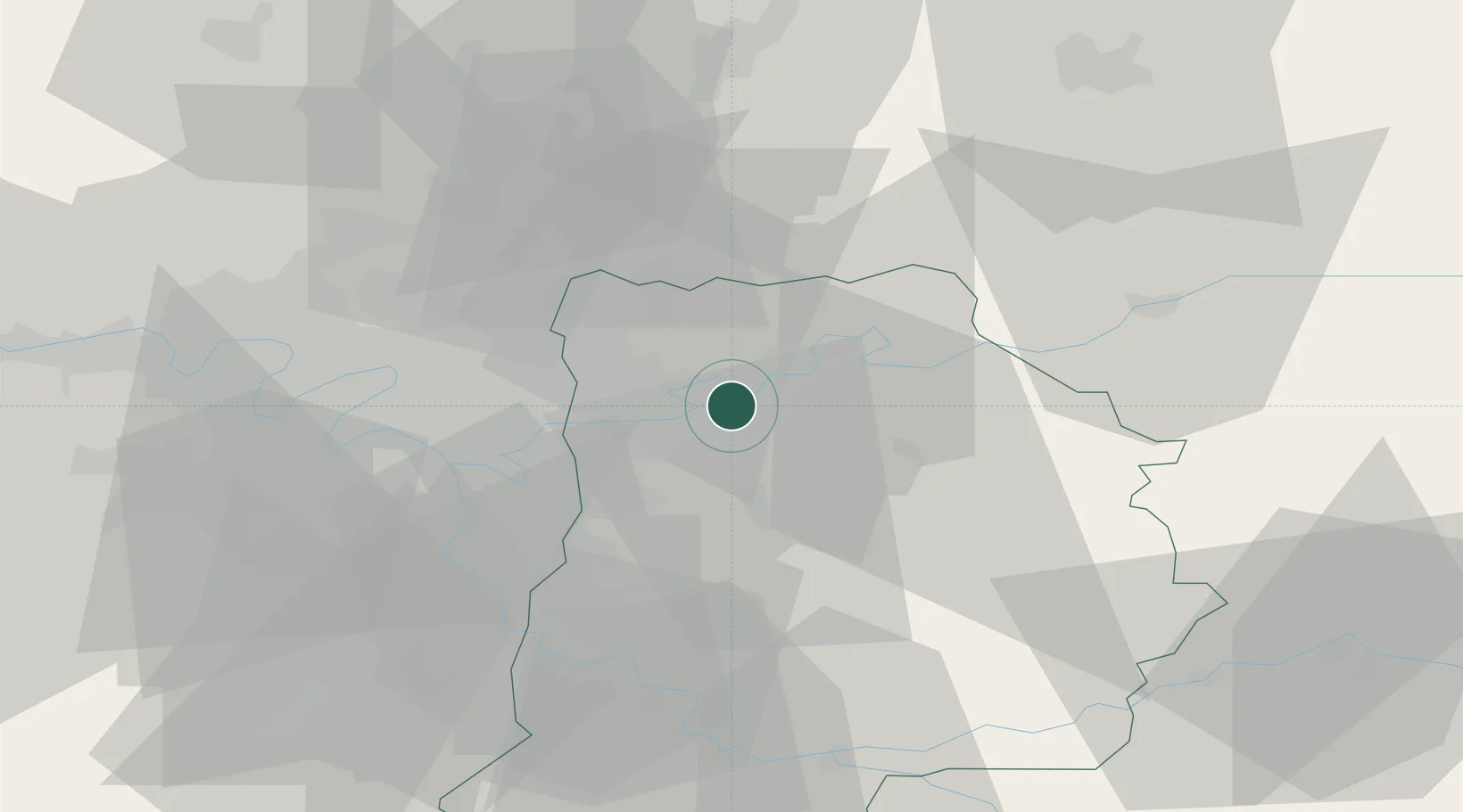
Nearby Logistics Neighbours

Cities
  1. 1Chessy4 km
  2. 2Mareuil-lès-Meaux4 km
  3. 3Précy-sur-Marne4 km
  4. 4Fresnes-sur-Marne7 km
  5. 5Thorigny-sur-Marne8 km
Nearest neighbours — logibook spatial index (haversine) over the source coordinates
Ports
  1. 1Port Of Rouen141 km
  2. 2Le Treport167 km
  3. 3Saint-Valery-Sur-Somme167 km
  4. 4Dieppe170 km
  5. 5Honfleur198 km
Nearest neighbours — logibook spatial index (haversine) over the source coordinates
Airports
  1. 1Charles de Gaulle International Airport23 km
  2. 2Paris-Le Bourget International Airport29 km
  3. 3Melun-Villaroche Airfield35 km
  4. 4Paris-Orly Airport38 km
  5. 5Creil Air Base45 km
Nearest neighbours — logibook spatial index (haversine) over the source coordinates
Trade Zones
  1. 1ZFU Meaux8 km
  2. 2ZFU Clichy-sous-Bois et Montfermeil20 km
  3. 3ZFU Neuilly-sur-Marne22 km
  4. 4ZFU Sevran22 km
  5. 5ZFU Champigny-sur-Marne et Chennevières-sur-Marne24 km
Nearest neighbours — logibook spatial index (haversine) over the source coordinates
DatabookThe Record of Consolidated Knowledge
France beyond logistics?
Browse databook

All Sources

LocationsUN/LOCODE
UN/LOCODE — free
LocationsGeoNames
CC BY 4.0
Portsthe NGA World Port Index
Public domain (US gov)
AirportsOurAirports
Public domain
Trade Zonesthe World Bank SEZ database
CC BY 4.0
Trade ZonesOpen Zone Map
CC BY
← France locations