Transport Functions
Port
Rail
Airport
Hub Profile
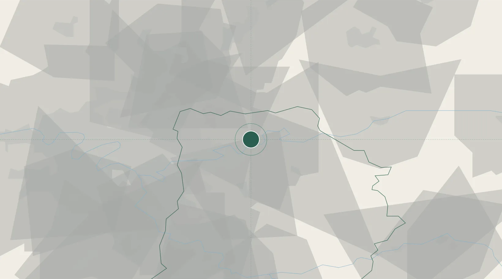
Place type
District seat
Region
Île-de-France
Population
53,811
Time zone
Europe/Paris
Elevation
61 m
Location
Nearby Logistics Neighbours
Cities
- 1Trilport4 km
- 2Mareuil-lès-Meaux4 km
- 3Fublaines5 km
- 4Précy-sur-Marne8 km
- 5Esbly9 km
Ports
- 1Port Of Rouen143 km
- 2Saint-Valery-Sur-Somme163 km
- 3Le Treport164 km
- 4Dieppe169 km
- 5Honfleur200 km
Airports
Trade Zones
- 1ZFU Meaux1 km
- 2ZFU Clichy-sous-Bois et Montfermeil26 km
- 3ZFU Sevran26 km
- 4ZFU Neuilly-sur-Marne29 km
- 5ZFU Bondy30 km
DatabookThe Record of Consolidated Knowledge
France beyond logistics?