Transport Functions
Port
Hub Profile
Place type
Populated place
Region
Grand Est
Population
1,453
Time zone
Europe/Paris
Elevation
96 m
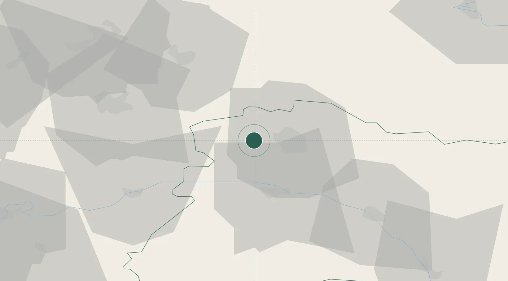
Location
Nearby Logistics Neighbours
Cities
- 1Janvry1 km
- 2Coulommes-la-Montagne2 km
- 3Vrigny2 km
- 4Germigny2 km
- 5Thillois4 km
Ports
- 1Bruxelles183 km
- 2Saint-Valery-Sur-Somme194 km
- 3Ghent202 km
- 4Le Treport204 km
- 5Port Of Rouen206 km
Airports
Trade Zones
- 1ZFU Reims6 km
- 2ZFU Presles, Chevreux45 km
- 3ZFU Meaux81 km
- 4ZFU Ronde Couture81 km
- 5ZFU Le Vermandois Vermand, Fayet, Artois, Champagne83 km
DatabookThe Record of Consolidated Knowledge
France beyond logistics?