Transport Functions
Rail
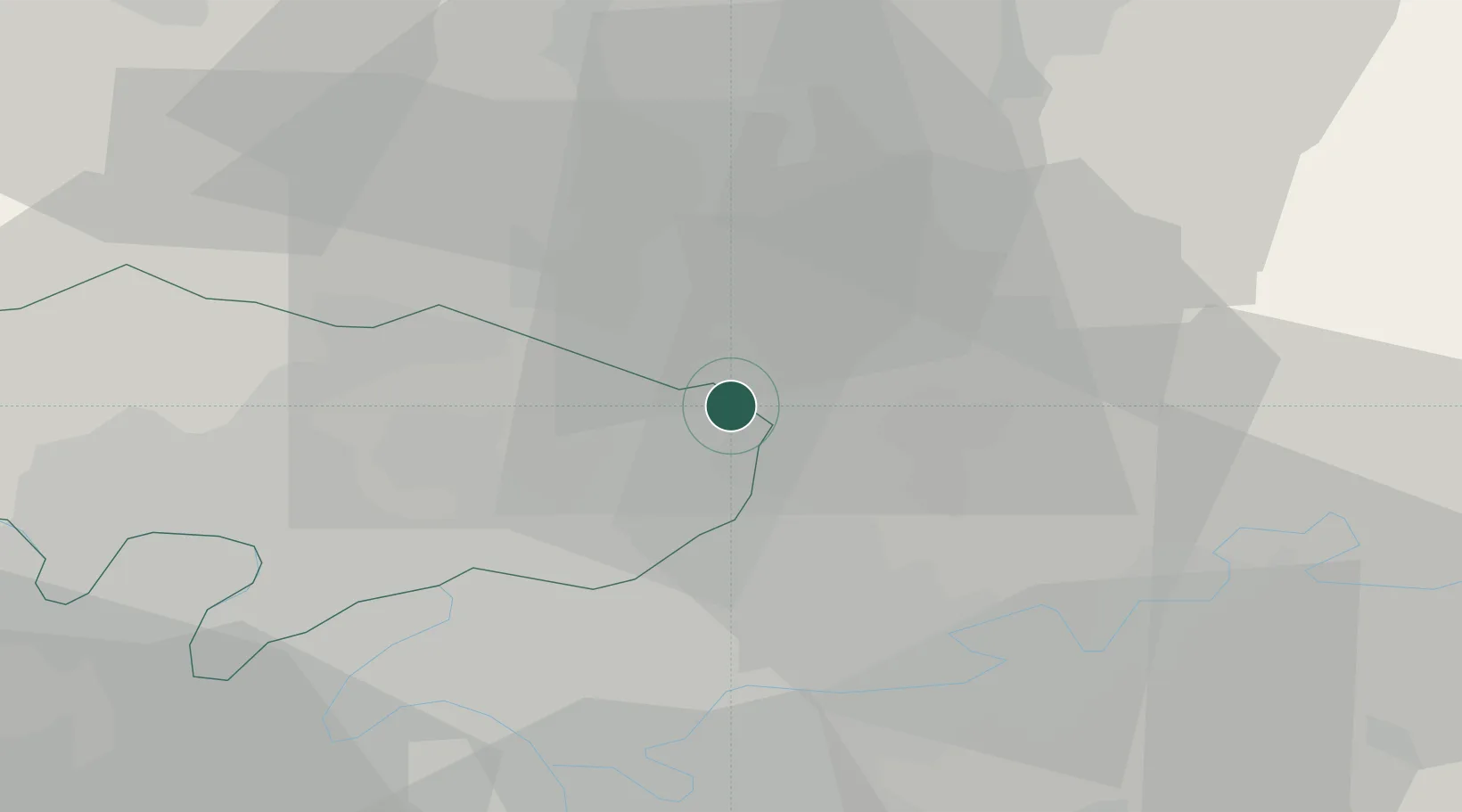
Hub Profile
Place type
Populated place
Region
Île-de-France
Population
3,869
Time zone
Europe/Paris
Elevation
142 m
Location
Nearby Logistics Neighbours
Cities
- 1Charles-de-gaulle Apt/paris9 km
- 2Villeneuve-sous-Dammartin10 km
- 3Le Mesnil-Amelot10 km
- 4Goussainville11 km
- 5Dammartin-en-Goële11 km
Ports
- 1Port Of Rouen114 km
- 2Le Treport137 km
- 3Saint-Valery-Sur-Somme138 km
- 4Dieppe141 km
- 5Honfleur173 km
Airports
Trade Zones
- 1ZFU Villiers-le-Bel16 km
- 2ZFU Sevran18 km
- 3ZFU Garges-lès-Gonesse et Sarcelles18 km
- 4ZFU Aulnay-sous-Bois18 km
- 5ZFU Le Blanc-Mesnil, Dugny19 km
DatabookThe Record of Consolidated Knowledge
France beyond logistics?