Transport Functions
Rail
Road
Airport
Postal
Hub Profile
Region
93
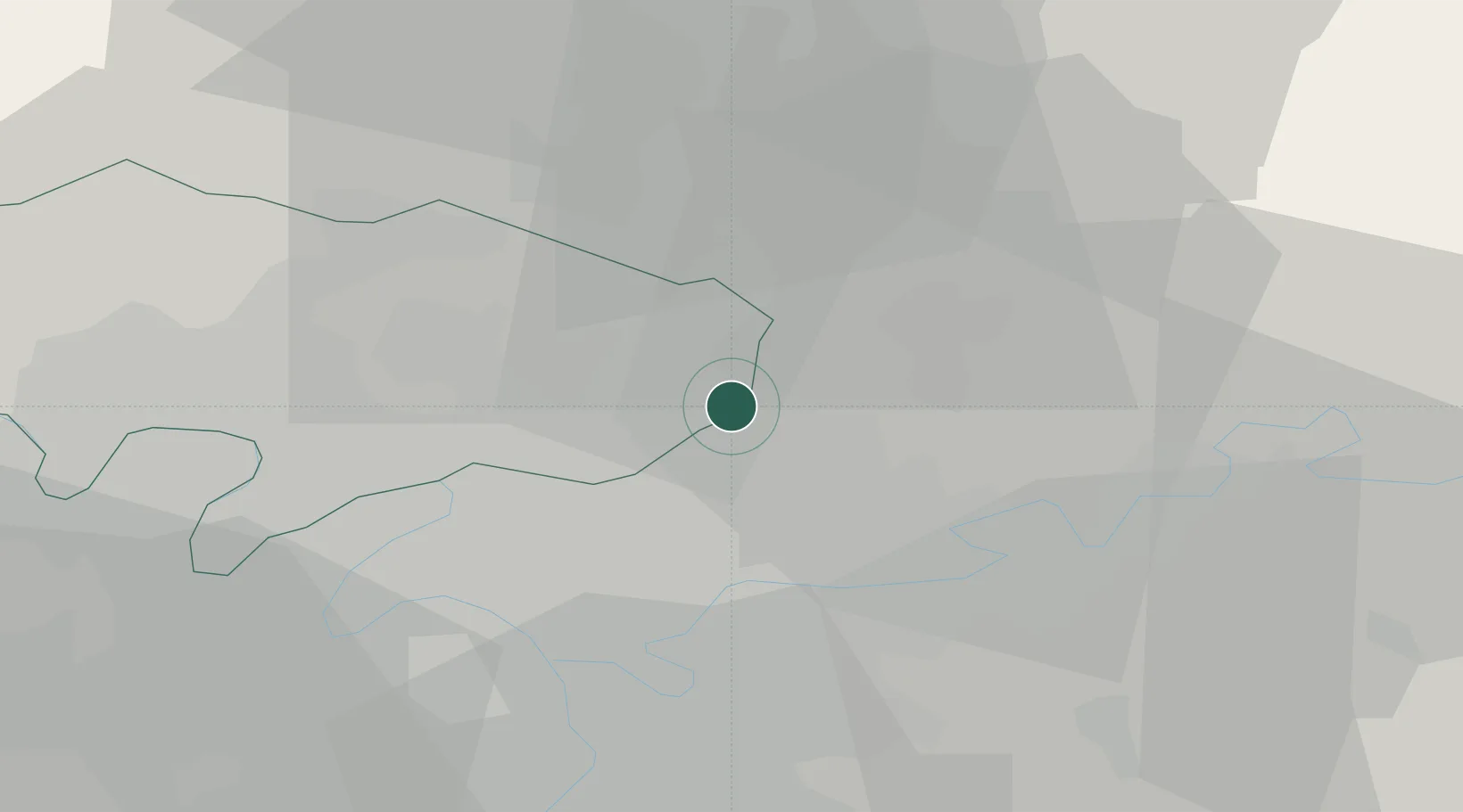
Location
Nearby Logistics Neighbours
Cities
- 1Le Mesnil-Amelot4 km
- 2Villepinte6 km
- 3Goussainville6 km
- 4Villeneuve-sous-Dammartin6 km
- 5Survilliers9 km
Ports
- 1Port Of Rouen118 km
- 2Le Treport145 km
- 3Saint-Valery-Sur-Somme146 km
- 4Dieppe147 km
- 5Honfleur175 km
Airports
Trade Zones
- 1ZFU Sevran9 km
- 2ZFU Aulnay-sous-Bois10 km
- 3ZFU Le Blanc-Mesnil, Dugny11 km
- 4ZFU Villiers-le-Bel12 km
- 5ZFU Garges-lès-Gonesse et Sarcelles12 km
DatabookThe Record of Consolidated Knowledge
France beyond logistics?