Transport Functions
Rail
Road
Multimodal
Hub Profile
Place type
Populated place
Region
Bourgogne
Population
641
Time zone
Europe/Paris
Elevation
199 m
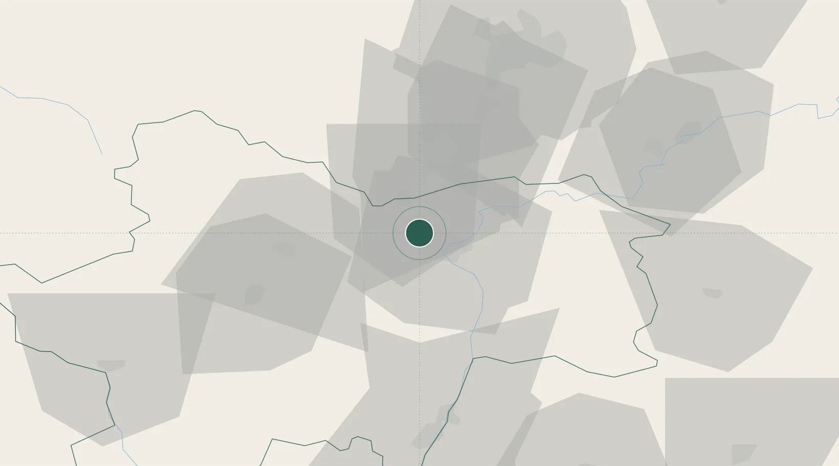
Location
Nearby Logistics Neighbours
Cities
- 1Fargues-de-Langon0 km
- 2Dracy-le-Fort5 km
- 3Virey5 km
- 4Germolles5 km
- 5Mellecey5 km
Ports
- 1Fos380 km
- 2Port-de-Bouc382 km
- 3Port Saint Louis Du Rhone384 km
- 4Sete391 km
- 5Marseille394 km
Airports
- 1Dole Tavaux Airport53 km
- 2Dijon Longvic airport53 km
- 3Mâcon-Charnay Airfield60 km
- 4Saint-Yan Airport76 km
- 5Ambérieu Air Base (BA 278)102 km
Trade Zones
- 1ZFU Chenôve53 km
- 2ZFU Besancon102 km
- 3ZFU Rillieux-la-Pape112 km
- 4ZFU Vaulx-en-Velin117 km
- 5ZFU Lyon 9e118 km
DatabookThe Record of Consolidated Knowledge
France beyond logistics?