UN/LOCODE hub · France
FRAD2

Auxey-Duresses

46.9833°, 4.7500°
339
Population
2
Transport functions

Transport Functions

Road
Multimodal
UN/LOCODE

Hub Profile

Place type
Populated place
GeoNames
Region
Bourgogne
GeoNames
Population
339
GeoNames
Time zone
Europe/Paris
GeoNames
Elevation
260 m
GeoNames

Location

Location of FRAD2
Natural Earth 10m (public domain) · Bourgogne · FRAD2 · 46.98, 4.75GoogleOSMYandex

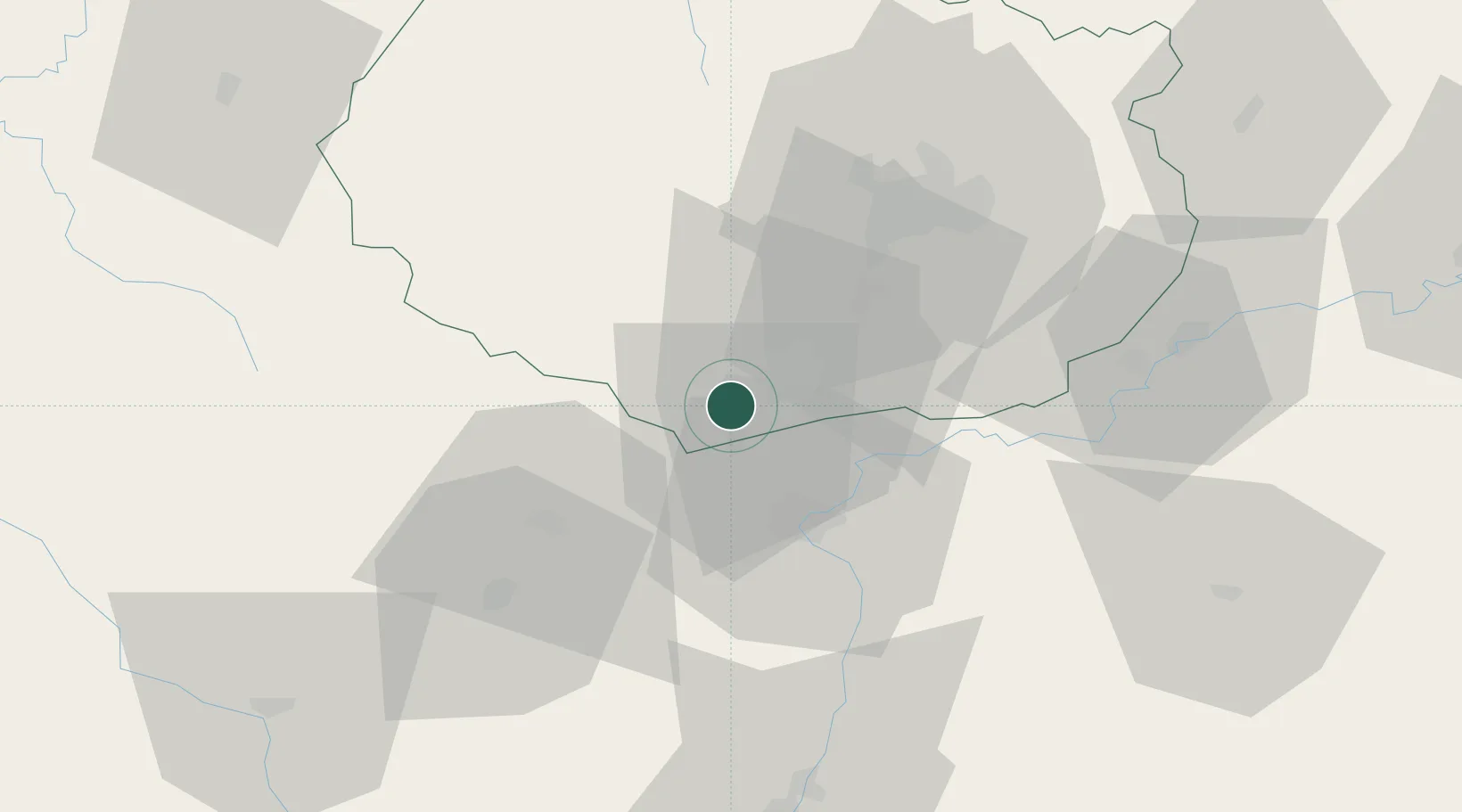
Nearby Logistics Neighbours

Cities
  1. 1Monthelie2 km
  2. 2Volnay3 km
  3. 3Puligny-Montrachet4 km
  4. 4Saint-Romain4 km
  5. 5Corcelles-les-Arts5 km
Nearest neighbours — logibook spatial index (haversine) over the source coordinates
Ports
  1. 1Port Of Rouen387 km
  2. 2Fos397 km
  3. 3Port-de-Bouc399 km
  4. 4Port Saint Louis Du Rhone400 km
  5. 5Sete407 km
Nearest neighbours — logibook spatial index (haversine) over the source coordinates
Airports
  1. 1Dijon Longvic airport41 km
  2. 2Dole Tavaux Airport52 km
  3. 3Mâcon-Charnay Airfield77 km
  4. 4Saint-Yan Airport85 km
  5. 5Roanne-Renaison Airport118 km
Nearest neighbours — logibook spatial index (haversine) over the source coordinates
Trade Zones
  1. 1ZFU Chenôve39 km
  2. 2ZFU Besancon99 km
  3. 3ZFU Rillieux-la-Pape129 km
  4. 4Geneva Cointrin International Airport Free Port133 km
  5. 5ZFU Vaulx-en-Velin134 km
Nearest neighbours — logibook spatial index (haversine) over the source coordinates
DatabookThe Record of Consolidated Knowledge
France beyond logistics?
Browse databook

All Sources

LocationsUN/LOCODE
UN/LOCODE — free
LocationsGeoNames
CC BY 4.0
Portsthe NGA World Port Index
Public domain (US gov)
AirportsOurAirports
Public domain
Trade Zonesthe World Bank SEZ database
CC BY 4.0
Trade ZonesOpen Zone Map
CC BY
← France locations