Transport Functions
Multimodal
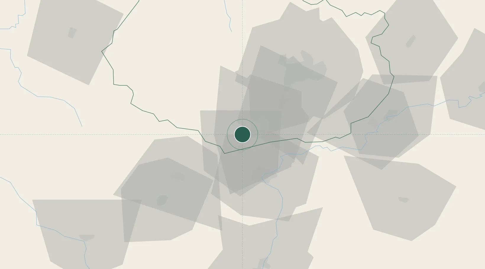
Hub Profile
Place type
Populated place
Region
Bourgogne
Population
207
Time zone
Europe/Paris
Elevation
361 m
Location
Nearby Logistics Neighbours
Cities
- 1Volnay1 km
- 2Auxey-Duresses2 km
- 3Nantoux4 km
- 4Meloisey5 km
- 5Saint-Romain5 km
Ports
- 1Port Of Rouen386 km
- 2Fos399 km
- 3Port-de-Bouc401 km
- 4Port Saint Louis Du Rhone402 km
- 5Sete409 km
Airports
- 1Dijon Longvic airport39 km
- 2Dole Tavaux Airport50 km
- 3Mâcon-Charnay Airfield78 km
- 4Saint-Yan Airport87 km
- 5Roanne-Renaison Airport121 km
Trade Zones
- 1ZFU Chenôve36 km
- 2ZFU Besancon98 km
- 3ZFU Rillieux-la-Pape131 km
- 4Geneva Cointrin International Airport Free Port133 km
- 5Port Franc de Geneve136 km
DatabookThe Record of Consolidated Knowledge
France beyond logistics?