UN/LOCODE hub · France
FRTOJ

Montescot

42.6167°, 2.9333°
1,589
Population
1
Transport functions

Transport Functions

Multimodal
UN/LOCODE

Hub Profile

Place type
Populated place
GeoNames
Region
Occitanie
GeoNames
Population
1,589
GeoNames
Time zone
Europe/Paris
GeoNames
Elevation
12 m
GeoNames

Location

Location of FRTOJ
Natural Earth 10m (public domain) · Occitanie · FRTOJ · 42.62, 2.93GoogleOSMYandex

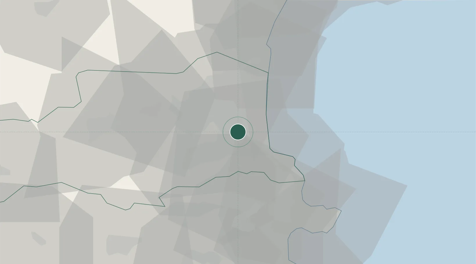
Nearby Logistics Neighbours

Cities
  1. 1Villeneuve-de-la-Raho2 km
  2. 2Corneilla-del-Vercol2 km
  3. 3Bages3 km
  4. 4Pollestres6 km
  5. 5Palau-del-Vidre6 km
Nearest neighbours — logibook spatial index (haversine) over the source coordinates
Ports
  1. 1Port-Vendres19 km
  2. 2Rosas44 km
  3. 3Port-La-Nouvelle46 km
  4. 4Palamos88 km
  5. 5San Feliu De Guixols93 km
Nearest neighbours — logibook spatial index (haversine) over the source coordinates
Airports
  1. 1Perpignan-Rivesaltes (Llabanère) Airport15 km
  2. 2Girona-Costa Brava Airport80 km
  3. 3Carcassonne Salvaza Airport84 km
  4. 4Béziers Vias airport86 km
  5. 5Folgueroles Airfield90 km
Nearest neighbours — logibook spatial index (haversine) over the source coordinates
Trade Zones
  1. 1ZFU Perpignan10 km
  2. 2ZFU Béziers83 km
  3. 3ZFU Montpellier133 km
  4. 4Zona Franca de Barcelona157 km
  5. 5ZFU Toulouse164 km
Nearest neighbours — logibook spatial index (haversine) over the source coordinates
DatabookThe Record of Consolidated Knowledge
France beyond logistics?
Browse databook

All Sources

LocationsUN/LOCODE
UN/LOCODE — free
LocationsGeoNames
CC BY 4.0
Portsthe NGA World Port Index
Public domain (US gov)
AirportsOurAirports
Public domain
Trade Zonesthe World Bank SEZ database
CC BY 4.0
Trade ZonesOpen Zone Map
CC BY
← France locations