Transport Functions
Port
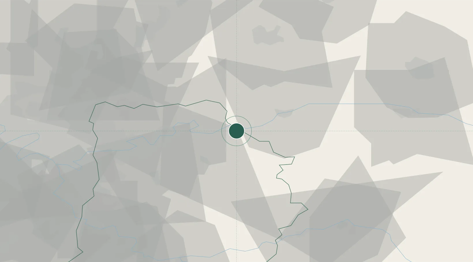
Hub Profile
Place type
Populated place
Region
Île-de-France
Population
1,866
Time zone
Europe/Paris
Elevation
61 m
Location
Nearby Logistics Neighbours
Cities
- 1Crouttes-sur-Marne2 km
- 2Luzancy4 km
- 3Charly-sur-Marne5 km
- 4Bézu-le-Guéry6 km
- 5Jouarre7 km
Ports
- 1Port Of Rouen165 km
- 2Saint-Valery-Sur-Somme178 km
- 3Le Treport181 km
- 4Dieppe188 km
- 5Honfleur224 km
Airports
Trade Zones
- 1ZFU Meaux24 km
- 2ZFU Presles, Chevreux46 km
- 3ZFU Clichy-sous-Bois et Montfermeil49 km
- 4ZFU Sevran51 km
- 5ZFU Neuilly-sur-Marne52 km
DatabookThe Record of Consolidated Knowledge
France beyond logistics?