Transport Functions
Port
Rail
Road
Hub Profile
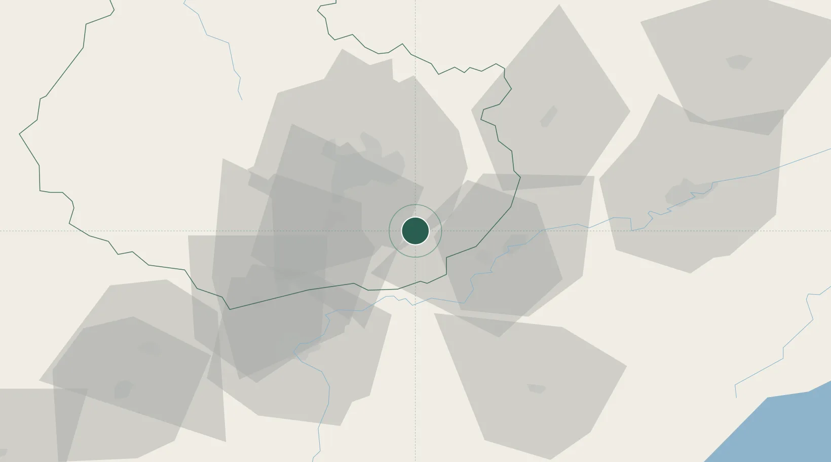
Place type
Populated place
Region
Bourgogne
Population
2,555
Time zone
Europe/Paris
Elevation
184 m
Location
Nearby Logistics Neighbours
Cities
- 1Aiserey5 km
- 2Losne5 km
- 3Saint-Usage5 km
- 4Izeure7 km
- 5Bonnencontre8 km
Ports
- 1Port Of Rouen401 km
- 2Savona404 km
- 3Rada Di Vado406 km
- 4Fos414 km
- 5Nice414 km
Airports
- 1Dijon Longvic airport18 km
- 2Dole Tavaux Airport19 km
- 3Vesoul-Frotey Airfield93 km
- 4Mâcon-Charnay Airfield99 km
- 5Luxeuil-Saint-Sauveur (BA 116) Air Base112 km
Trade Zones
DatabookThe Record of Consolidated Knowledge
France beyond logistics?