UN/LOCODE hub · France
FRRNU

Saint-Laurent-en-Grandvaux
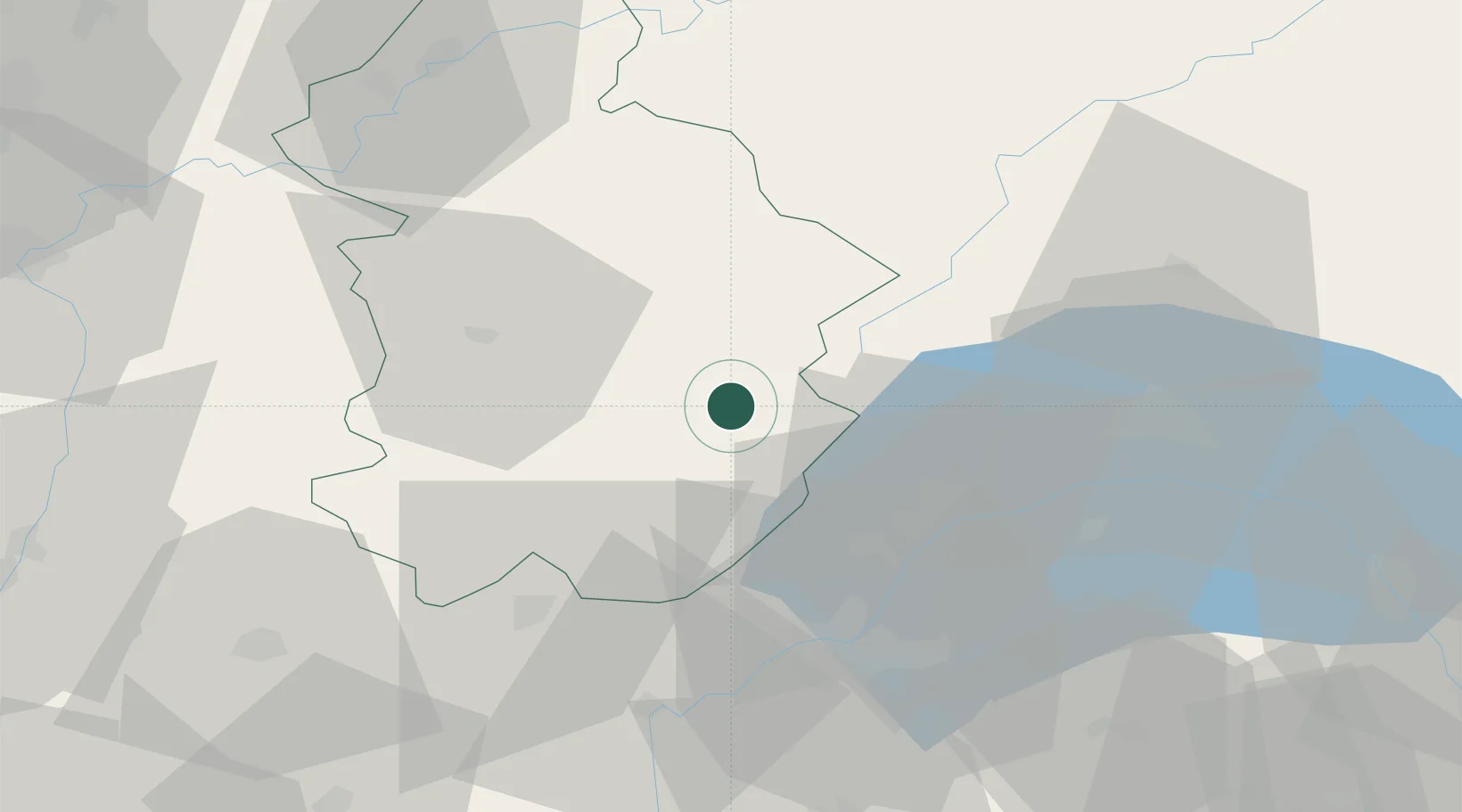
46.5667°, 5.9500°
1,779
Population
2
Transport functions

Transport Functions

Rail
Road
UN/LOCODE

Hub Profile

Place type
Populated place
GeoNames
Region
Bourgogne
GeoNames
Population
1,779
GeoNames
Time zone
Europe/Paris
GeoNames
Elevation
883 m
GeoNames

Location

Location of FRRNU
Natural Earth 10m (public domain) · Bourgogne · FRRNU · 46.57, 5.95GoogleOSMYandex

Nearby Logistics Neighbours

Cities
  1. 1Morbier6 km
  2. 2Bellefontaine8 km
  3. 3Les Rousses13 km
  4. 4Champagnole21 km
  5. 5Saint-Claude21 km
Nearest neighbours — logibook spatial index (haversine) over the source coordinates
Ports
  1. 1Savona320 km
  2. 2Rada Di Vado322 km
  3. 3Genova334 km
  4. 4Monaco335 km
  5. 5Nice336 km
Nearest neighbours — logibook spatial index (haversine) over the source coordinates
Airports
  1. 1Geneva Cointrin International Airport39 km
  2. 2Annemasse Airfield48 km
  3. 3Dole Tavaux Airport66 km
  4. 4Annecy Meythet airport72 km
  5. 5Payerne Air Base80 km
Nearest neighbours — logibook spatial index (haversine) over the source coordinates
Trade Zones
  1. 1Geneva Cointrin International Airport Free Port41 km
  2. 2Port Franc de Geneve44 km
  3. 3Geneva Freeport, La Praille, Geneva44 km
  4. 4Port Franc Vevey48 km
  5. 5PESA - Port-Franc et Entrepôts de Lausanne-Chavornay SA49 km
Nearest neighbours — logibook spatial index (haversine) over the source coordinates
DatabookThe Record of Consolidated Knowledge
France beyond logistics?
Browse databook

All Sources

LocationsUN/LOCODE
UN/LOCODE — free
LocationsGeoNames
CC BY 4.0
Portsthe NGA World Port Index
Public domain (US gov)
AirportsOurAirports
Public domain
Trade Zonesthe World Bank SEZ database
CC BY 4.0
Trade ZonesOpen Zone Map
CC BY
← France locations