Transport Functions
Multimodal
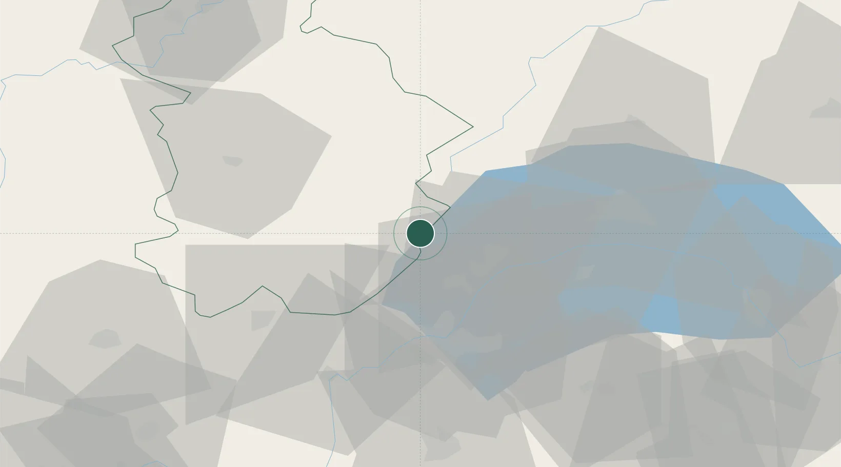
Hub Profile
Place type
Populated place
Region
Bourgogne
Population
3,048
Time zone
Europe/Paris
Elevation
1,127 m
Location
Nearby Logistics Neighbours
Cities
- 1Morbier7 km
- 2Bellefontaine8 km
- 3Saint-Laurent-en-Grandvaux13 km
- 4Crassier15 km
- 5Bogis-Bossey16 km
Ports
- 1Savona307 km
- 2Rada Di Vado309 km
- 3Genova322 km
- 4Monaco324 km
- 5Nice324 km
Airports
- 1Geneva Cointrin International Airport28 km
- 2Annemasse Airfield36 km
- 3Annecy Meythet airport62 km
- 4Payerne Air Base76 km
- 5Dole Tavaux Airport79 km
DatabookThe Record of Consolidated Knowledge
France beyond logistics?