Transport Functions
Rail
Road
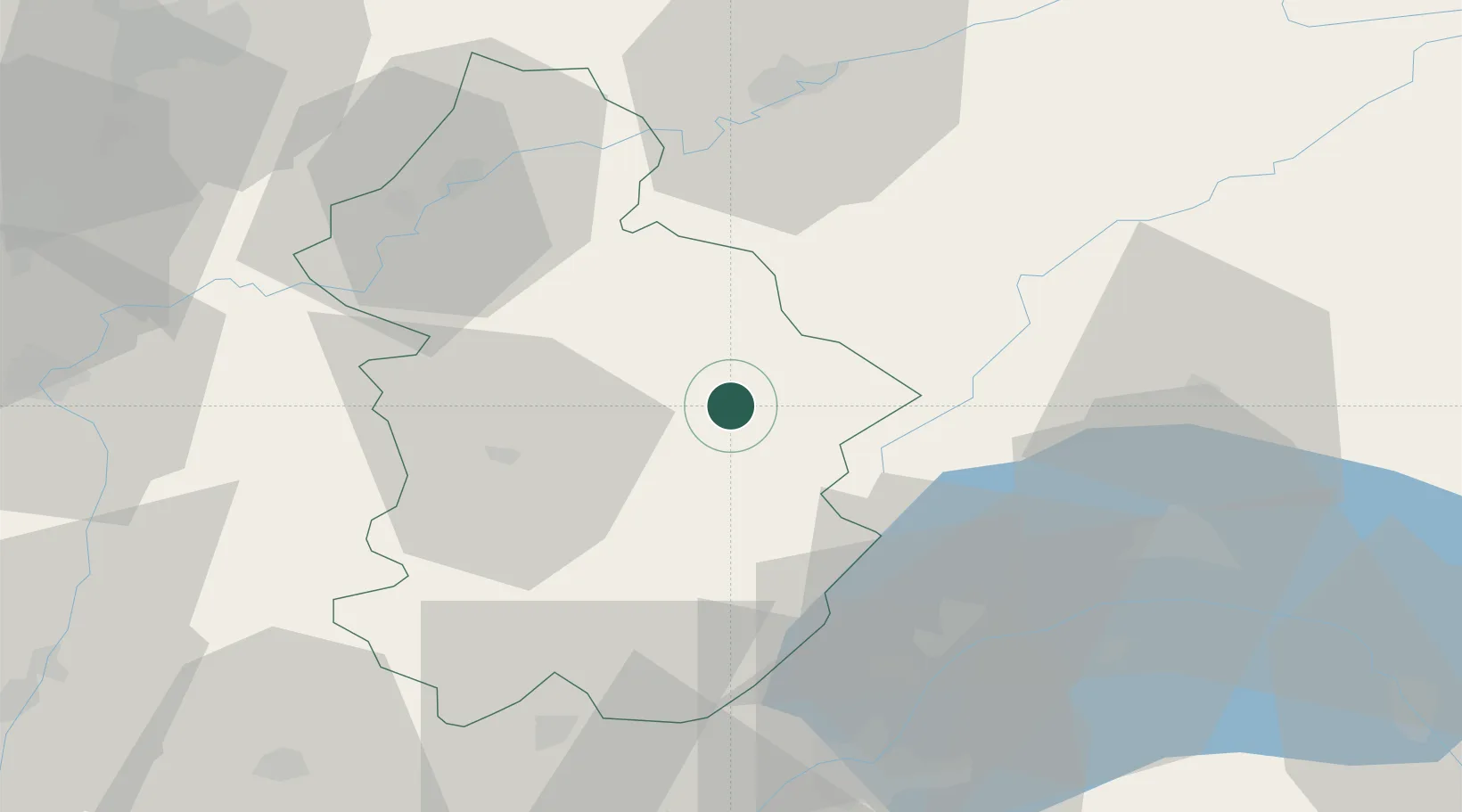
Hub Profile
Place type
Populated place
Region
Bourgogne
Population
9,239
Time zone
Europe/Paris
Elevation
540 m
Location
Nearby Logistics Neighbours
Cities
- 1Ardon3 km
- 2Vaux-sur-Poligny18 km
- 3Pupillin19 km
- 4Mesnay19 km
- 5Cernans20 km
Ports
- 1Savona337 km
- 2Rada Di Vado340 km
- 3Genova351 km
- 4Monaco355 km
- 5Nice356 km
Airports
- 1Dole Tavaux Airport49 km
- 2Geneva Cointrin International Airport59 km
- 3Annemasse Airfield68 km
- 4Les Eplatures Airport76 km
- 5Payerne Air Base77 km
Trade Zones
DatabookThe Record of Consolidated Knowledge
France beyond logistics?