Transport Functions
Rail
Postal
Hub Profile
Place type
District seat
Region
Bourgogne
Population
12,418
Time zone
Europe/Paris
Elevation
442 m
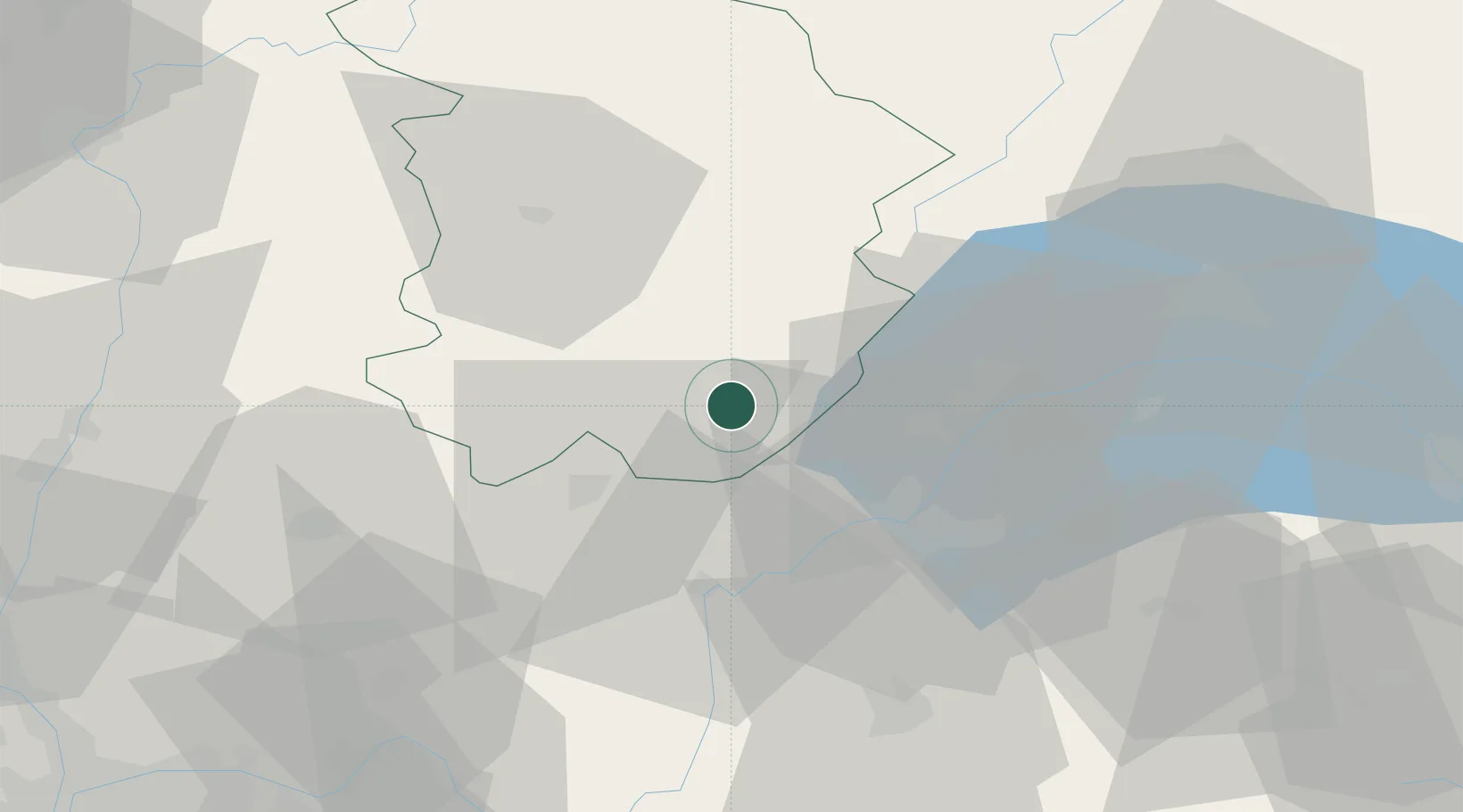
Location
Nearby Logistics Neighbours
Cities
- 1Chassal7 km
- 2Pratz8 km
- 3Molinges9 km
- 4Les Rousses19 km
- 5Morbier20 km
Ports
- 1Savona308 km
- 2Rada Di Vado310 km
- 3Nice318 km
- 4Monaco319 km
- 5Villefranche319 km
Airports
DatabookThe Record of Consolidated Knowledge
France beyond logistics?