Transport Functions
Multimodal
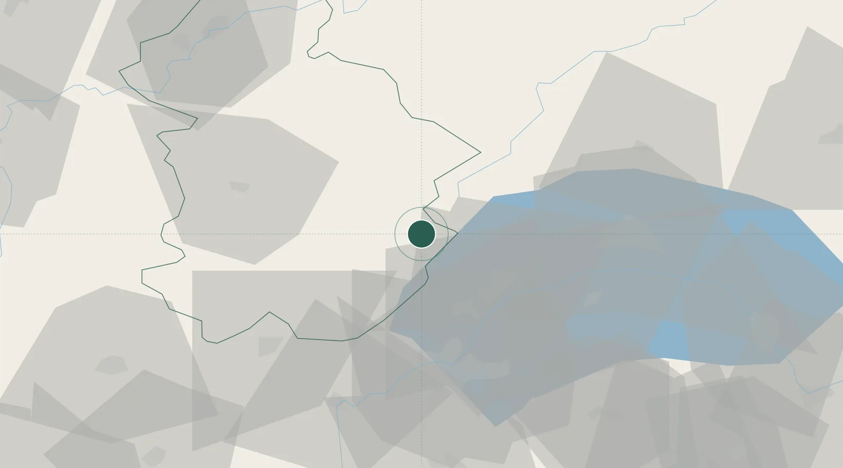
Hub Profile
Place type
Populated place
Region
Bourgogne
Population
471
Time zone
Europe/Paris
Elevation
1,023 m
Location
Nearby Logistics Neighbours
Cities
- 1Morbier3 km
- 2Les Rousses8 km
- 3Saint-Laurent-en-Grandvaux8 km
- 4Le Lieu20 km
- 5Bursins21 km
Ports
- 1Savona313 km
- 2Rada Di Vado316 km
- 3Genova328 km
- 4Monaco331 km
- 5Nice331 km
Airports
- 1Geneva Cointrin International Airport35 km
- 2Annemasse Airfield43 km
- 3Annecy Meythet airport69 km
- 4Dole Tavaux Airport72 km
- 5Payerne Air Base74 km
DatabookThe Record of Consolidated Knowledge
France beyond logistics?