Transport Functions
Rail
Road
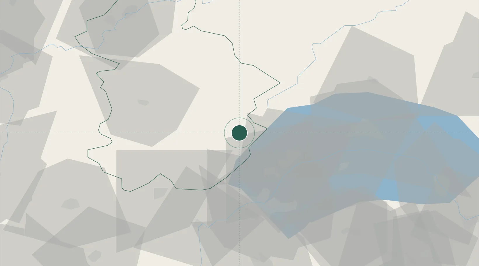
Hub Profile
Place type
Populated place
Region
Bourgogne
Population
2,224
Time zone
Europe/Paris
Elevation
821 m
Location
Nearby Logistics Neighbours
Cities
- 1Bellefontaine3 km
- 2Saint-Laurent-en-Grandvaux6 km
- 3Les Rousses7 km
- 4Saint-Claude20 km
- 5Crassier22 km
Ports
- 1Savona314 km
- 2Rada Di Vado316 km
- 3Genova328 km
- 4Monaco330 km
- 5Nice330 km
Airports
- 1Geneva Cointrin International Airport34 km
- 2Annemasse Airfield43 km
- 3Annecy Meythet airport68 km
- 4Dole Tavaux Airport72 km
- 5Payerne Air Base77 km
DatabookThe Record of Consolidated Knowledge
France beyond logistics?