UN/LOCODE hub · France
FR4FQ
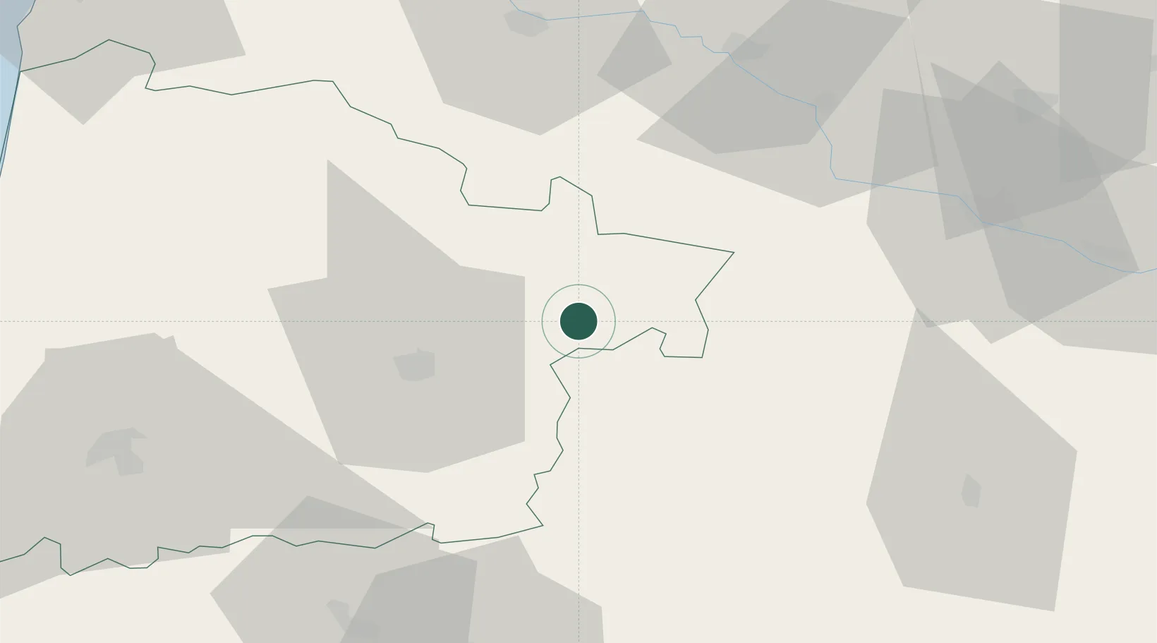
Betbezer-d'Armagnac
43.9833°, -0.1667°
114
Population
1
Transport functions
Transport Functions
Multimodal
Hub Profile
Place type
Populated place
Region
Nouvelle-Aquitaine
Population
114
Time zone
Europe/Paris
Elevation
89 m
Location
Nearby Logistics Neighbours
Cities
- 1Saint-Justin5 km
- 2Mauvezin-d'Armagnac6 km
- 3Le Frêche8 km
- 4Lacquy9 km
- 5Mauléon-d'Armagnac9 km
Airports
Trade Zones
- 1ZFU Hauts de Garonne100 km
- 2Port de Bordeaux107 km
- 3ZFU Toulouse136 km
- 4Depósito Franco de Pasajes (Guipúzcoa)159 km
- 5Depósito Franco de Bilbao242 km
DatabookThe Record of Consolidated Knowledge
France beyond logistics?