Transport Functions
Multimodal
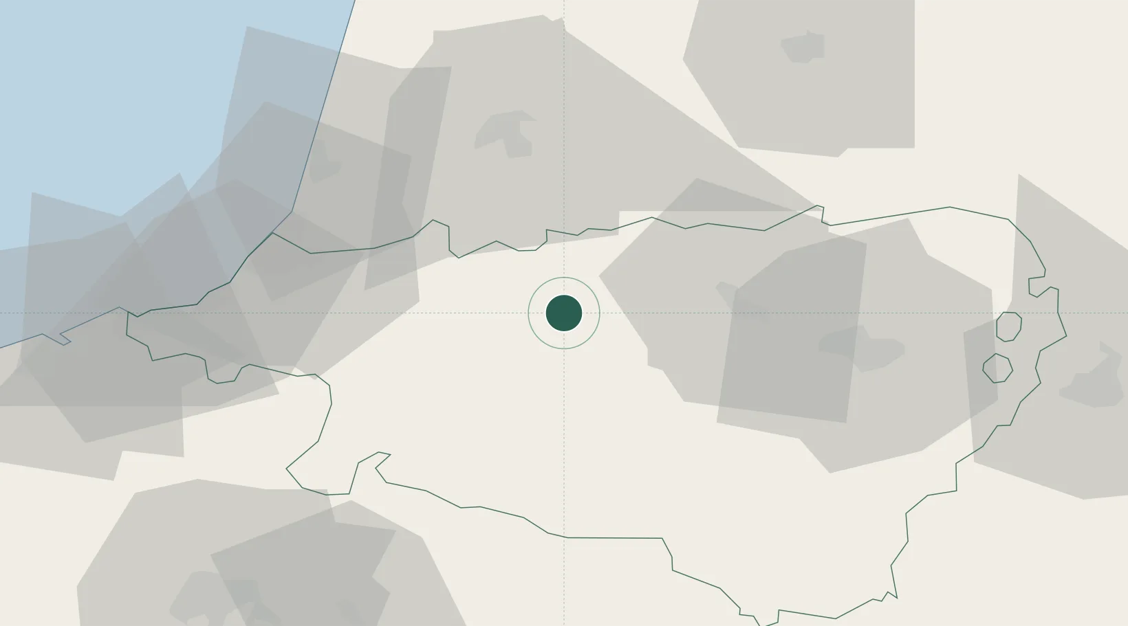
Hub Profile
Region
64
Location
Nearby Logistics Neighbours
Cities
- 1Abitain5 km
- 2Amendeuix-Oneix8 km
- 3Castetnau-Camblong15 km
- 4Lahontan17 km
- 5Labatut19 km
Ports
- 1Bayonne44 km
- 2Puerto De Pasajes80 km
- 3Bermeo143 km
- 4Bordeaux168 km
- 5Puerto De Bilbao170 km
Airports
Trade Zones
- 1Depósito Franco de Pasajes (Guipúzcoa)79 km
- 2ZFU Hauts de Garonne164 km
- 3Depósito Franco de Bilbao169 km
- 4Port de Bordeaux173 km
- 5Depósito Franco de Zaragoza194 km
DatabookThe Record of Consolidated Knowledge
France beyond logistics?