Transport Functions
Rail
Road
Hub Profile
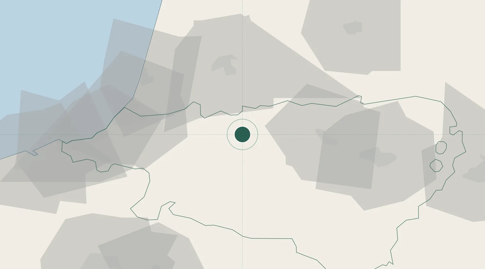
Place type
Populated place
Region
Nouvelle-Aquitaine
Population
120
Time zone
Europe/Paris
Elevation
55 m
Location
Nearby Logistics Neighbours
Cities
- 1Osserain-Rivareyte5 km
- 2Amendeuix-Oneix8 km
- 3Lahontan13 km
- 4Cauneille15 km
- 5Labatut15 km
Ports
- 1Bayonne40 km
- 2Puerto De Pasajes77 km
- 3Bermeo140 km
- 4Bordeaux165 km
- 5Puerto De Bilbao167 km
Airports
Trade Zones
- 1Depósito Franco de Pasajes (Guipúzcoa)77 km
- 2ZFU Hauts de Garonne160 km
- 3Depósito Franco de Bilbao167 km
- 4Port de Bordeaux170 km
- 5ZFU Toulouse197 km
DatabookThe Record of Consolidated Knowledge
France beyond logistics?