UN/LOCODE hub · France
FRYAM

Amendeuix-Oneix

43.3500°, -1.0333°
2
Transport functions

Transport Functions

Rail
Road
UN/LOCODE

Hub Profile

Region
64
GeoNames

Location

Location of FRYAM
Natural Earth 10m (public domain) · 64 · FRYAM · 43.35, -1.03GoogleOSMYandex

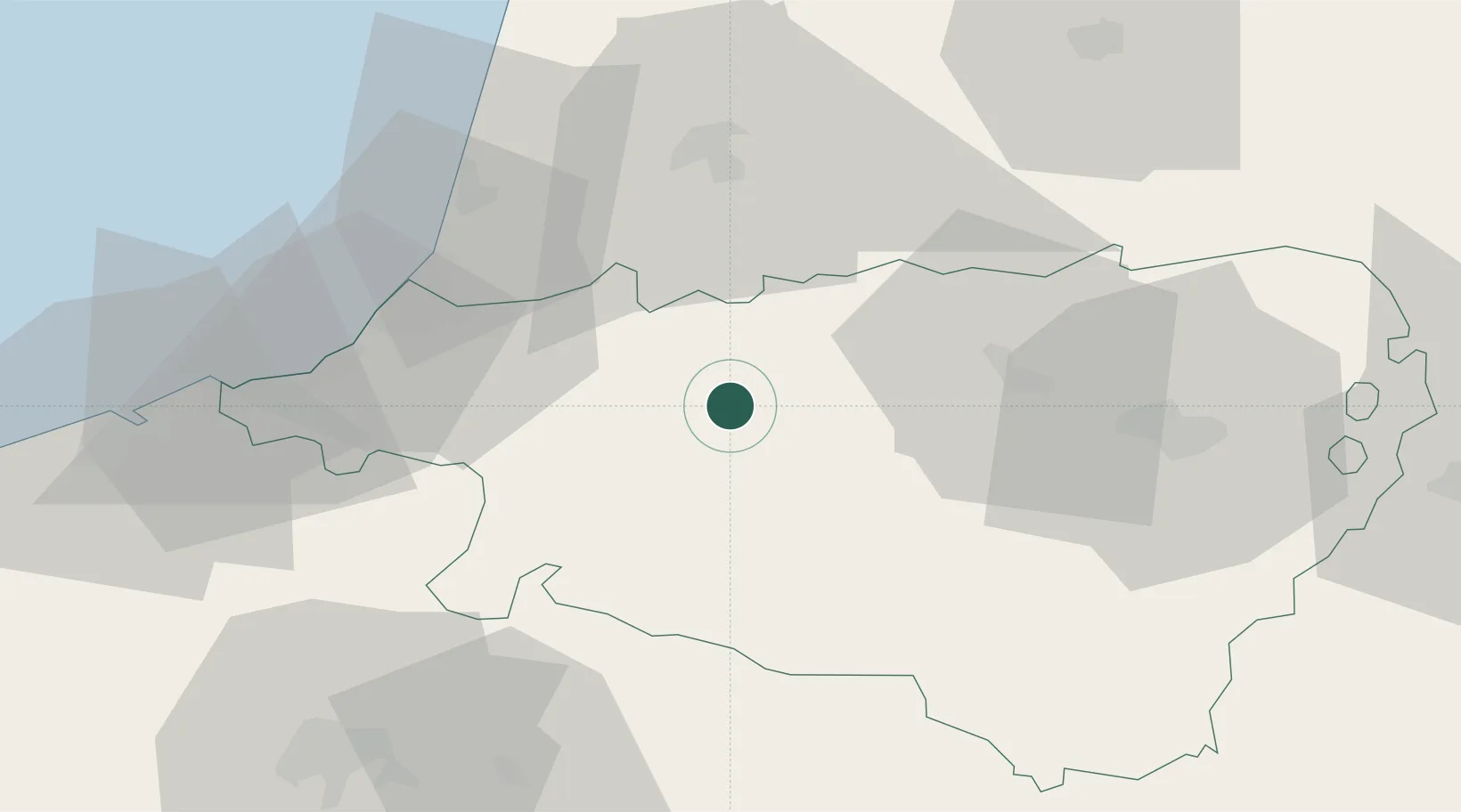
Nearby Logistics Neighbours

Cities
  1. 1Osserain-Rivareyte8 km
  2. 2Abitain8 km
  3. 3Ayherre18 km
  4. 4Castetnau-Camblong20 km
  5. 5Cauneille21 km
Nearest neighbours — logibook spatial index (haversine) over the source coordinates
Ports
  1. 1Bayonne39 km
  2. 2Puerto De Pasajes73 km
  3. 3Bermeo136 km
  4. 4Puerto De Bilbao163 km
  5. 5Bordeaux173 km
Nearest neighbours — logibook spatial index (haversine) over the source coordinates
Airports
  1. 1Biarritz Pays Basque airport42 km
  2. 2Pau Pyrénées Airport50 km
  3. 3San Sebastián Airport61 km
  4. 4Mont-de-Marsan (BA 118) Air Base75 km
  5. 5Pamplona Airport82 km
Nearest neighbours — logibook spatial index (haversine) over the source coordinates
Trade Zones
  1. 1Depósito Franco de Pasajes (Guipúzcoa)72 km
  2. 2Depósito Franco de Bilbao162 km
  3. 3ZFU Hauts de Garonne169 km
  4. 4Port de Bordeaux178 km
  5. 5Depósito Franco de Zaragoza191 km
Nearest neighbours — logibook spatial index (haversine) over the source coordinates
DatabookThe Record of Consolidated Knowledge
France beyond logistics?
Browse databook

All Sources

LocationsUN/LOCODE
UN/LOCODE — free
Portsthe NGA World Port Index
Public domain (US gov)
AirportsOurAirports
Public domain
Trade Zonesthe World Bank SEZ database
CC BY 4.0
Trade ZonesOpen Zone Map
CC BY
← France locations