UN/LOCODE hub · France
FROXG
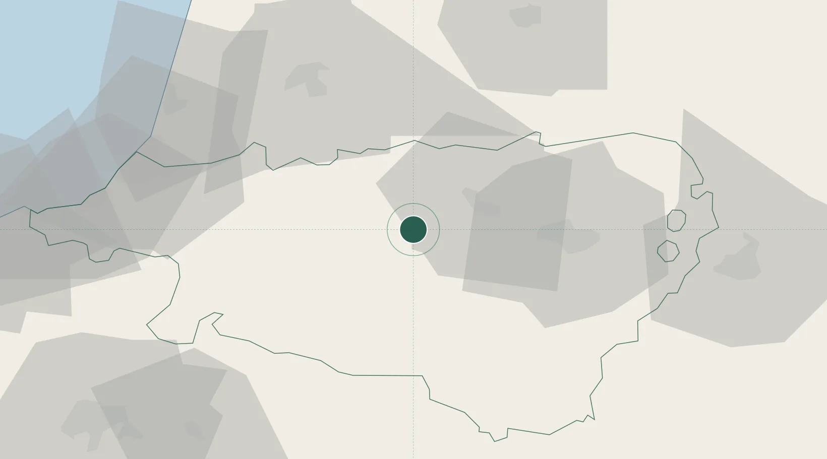
Castetnau-Camblong
43.3333°, -0.7833°
390
Population
1
Transport functions
Transport Functions
Multimodal
Hub Profile
Place type
Populated place
Region
Nouvelle-Aquitaine
Population
390
Time zone
Europe/Paris
Elevation
157 m
Location
Nearby Logistics Neighbours
Cities
- 1Lahourcade14 km
- 2Osserain-Rivareyte15 km
- 3Biron15 km
- 4Monein16 km
- 5Lacq16 km
Ports
- 1Bayonne58 km
- 2Puerto De Pasajes93 km
- 3Bermeo157 km
- 4Bordeaux171 km
- 5Puerto De Bilbao183 km
Airports
Trade Zones
- 1Depósito Franco de Pasajes (Guipúzcoa)92 km
- 2ZFU Hauts de Garonne167 km
- 3Port de Bordeaux176 km
- 4ZFU Toulouse182 km
- 5Depósito Franco de Bilbao183 km
DatabookThe Record of Consolidated Knowledge
France beyond logistics?