UN/LOCODE hub · France
FRZJJ

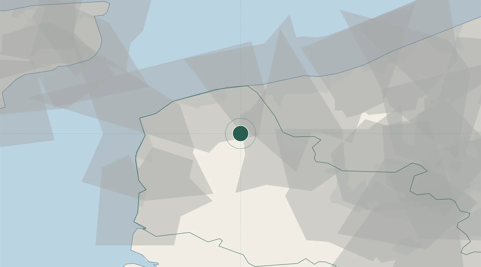
Tournehem-sur-la-Hem

50.8000°, 2.0333°
1,229
Population
1
Transport functions

Transport Functions

Multimodal
UN/LOCODE

Hub Profile

Place type
Populated place
GeoNames
Region
Hauts-de-France
GeoNames
Population
1,229
GeoNames
Time zone
Europe/Paris
GeoNames
Elevation
48 m
GeoNames

Location

Location of FRZJJ
Natural Earth 10m (public domain) · Hauts-de-France · FRZJJ · 50.80, 2.03GoogleOSMYandex

Nearby Logistics Neighbours

Cities
  1. 1Quercamps6 km
  2. 2Ardres7 km
  3. 3Audruicq8 km
  4. 4Moulle10 km
  5. 5Quelmes10 km
Nearest neighbours — logibook spatial index (haversine) over the source coordinates
Ports
  1. 1Calais23 km
  2. 2Gravelines23 km
  3. 3Boulogne-Sur-Mer31 km
  4. 4Dunkerque Port Est37 km
  5. 5Dover Harbor60 km
Nearest neighbours — logibook spatial index (haversine) over the source coordinates
Airports
  1. 1Calais Marck Airport19 km
  2. 2Le Touquet-Côte d'Opale Airport43 km
  3. 3Merville-Calonne Airport47 km
  4. 4Koksijde Air Base54 km
  5. 5Ostend-Bruges International Airport74 km
Nearest neighbours — logibook spatial index (haversine) over the source coordinates
Trade Zones
  1. 1ZFU Calais22 km
  2. 2ZFU Saint Pol sur Mer33 km
  3. 3ZFU de Lille et de Loos71 km
  4. 4Discovery Park - Sandwich Enterprise Zone73 km
  5. 5ZFU Hénin-Beaumont, Montigny-en-Gohelle, Courrières, Rouvroy, Drocourt, Dourges74 km
Nearest neighbours — logibook spatial index (haversine) over the source coordinates
DatabookThe Record of Consolidated Knowledge
France beyond logistics?
Browse databook

All Sources

LocationsUN/LOCODE
UN/LOCODE — free
LocationsGeoNames
CC BY 4.0
Portsthe NGA World Port Index
Public domain (US gov)
AirportsOurAirports
Public domain
Trade Zonesthe World Bank SEZ database
CC BY 4.0
Trade ZonesOpen Zone Map
CC BY
← France locations