Transport Functions
Multimodal
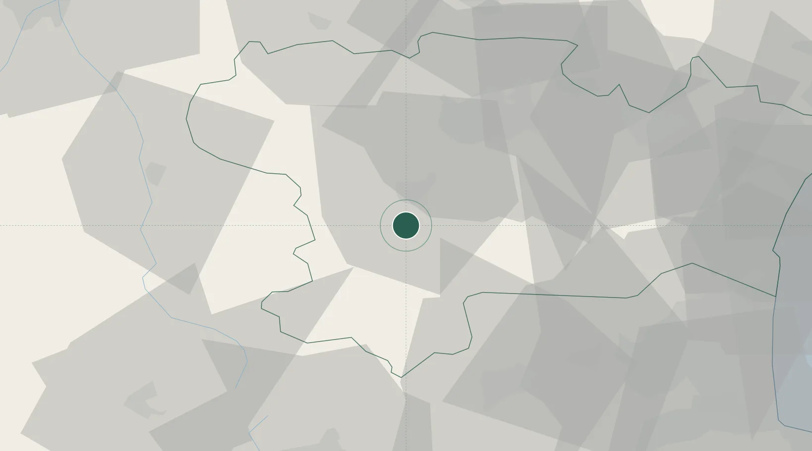
Hub Profile
Place type
Populated place
Region
Occitanie
Population
204
Time zone
Europe/Paris
Elevation
346 m
Location
Nearby Logistics Neighbours
Cities
- 1Tourreilles3 km
- 2Magrie4 km
- 3Antugnac6 km
- 4Espéraza8 km
- 5Malras8 km
Ports
- 1Port-La-Nouvelle71 km
- 2Port-Vendres92 km
- 3Rosas115 km
- 4Sete130 km
- 5Palamos150 km
Airports
Trade Zones
- 1ZFU Perpignan66 km
- 2ZFU Béziers90 km
- 3ZFU Toulouse91 km
- 4ZFU Montpellier149 km
- 5Zona Franca de Barcelona185 km
DatabookThe Record of Consolidated Knowledge
France beyond logistics?