Transport Functions
Multimodal
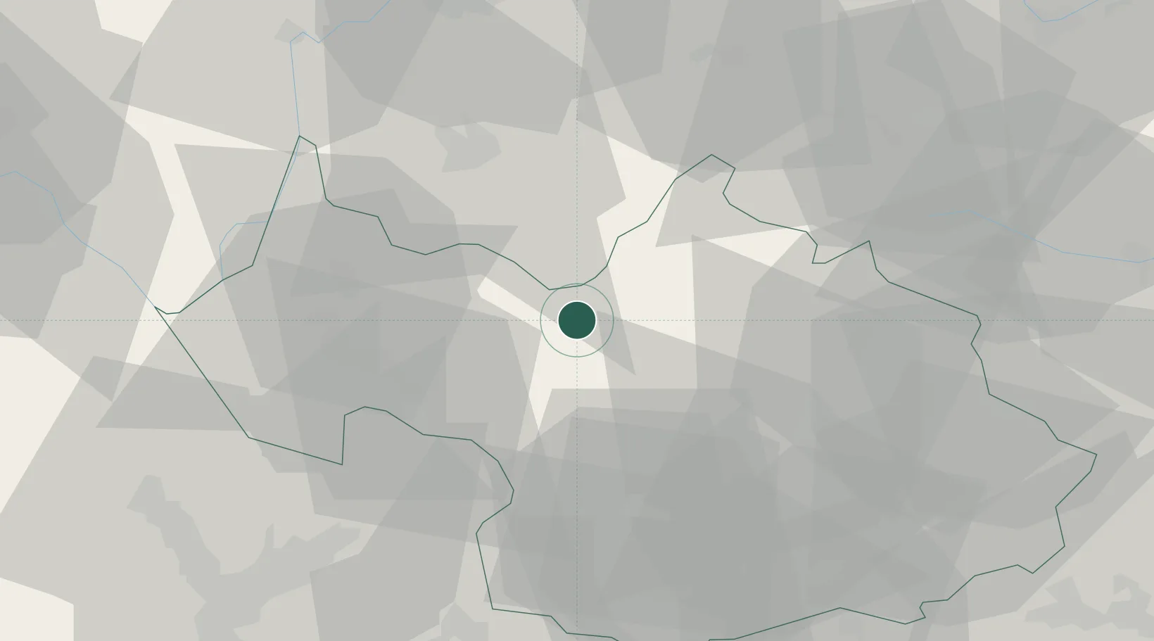
Hub Profile
Place type
Populated place
Region
Rhône-Alpes
Population
430
Time zone
Europe/Paris
Elevation
388 m
Location
Nearby Logistics Neighbours
Cities
- 1Albertville8 km
- 2Fréterive9 km
- 3Aiguebelle11 km
- 4Saint-Ferréol15 km
- 5Petit-Cur20 km
Ports
- 1Savona227 km
- 2Rada Di Vado228 km
- 3Nice229 km
- 4Monaco229 km
- 5Villefranche230 km
Airports
Trade Zones
DatabookThe Record of Consolidated Knowledge
France beyond logistics?